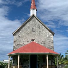
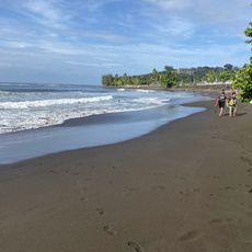
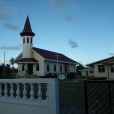
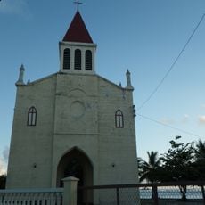
Arutua, Atoll in French Polynesia
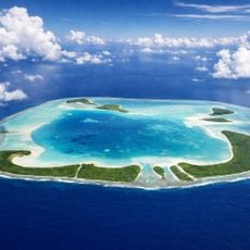
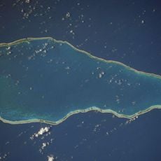
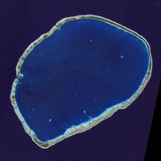
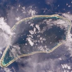
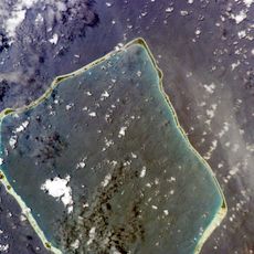
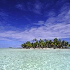
Arutua is a roughly pentagonal atoll in the Tuamotus, French Polynesia, 40 km southwest of Rangiroa and 16 km east of Apataki. It measures 31 km by 24 km, with a 484 km2 lagoon and 15 km2 of land spread over 57 motu islets. The wide, deep lagoon has one navigable passage; the main village is Rautini.
The atoll was first documented by Dutch explorer Jakob Roggeveen in 1722. A British navigator later renamed it during an expedition in the early 19th century.
Rautini is the main village and seat of the commune of Arutua, which also covers the atolls of Apataki and Kaukura. Outside administration, residents live mainly from copra production, and pearls are farmed in the lagoon. The atoll is also known as Ngaru-atua.
There is one main passage through the reef that allows boats to enter the lagoon. An airport provides connections to other islands, making it the main way to reach the atoll.
Russian explorer Otto von Kotzebue sailed past in 1816 and named the chain after his brig, the Rurik; on 23 April his crew sighted the reef from the masthead. He mapped the northern reef but a change of wind kept him from entering the lagoon. The atoll is also called Ngaru-atua.
The community of curious travelers
AroundUs brings together thousands of curated places, local tips, and hidden gems, enriched daily by 93,590 contributors worldwide.