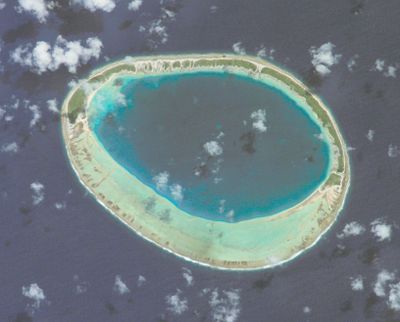
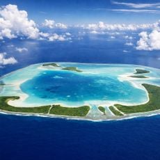
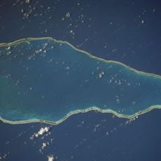
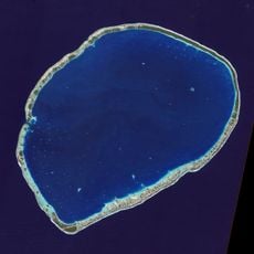
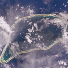
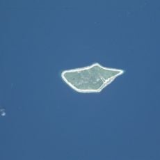
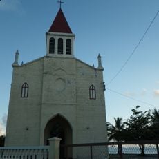
Hiti, Maritime boundary in Makemo, French Polynesia
Hiti is a maritime boundary near Makemo atoll that marks a clear line across the South Pacific waters. This boundary separates different administrative zones and determines how fishing rights and ocean resources are managed in the area.
This maritime boundary was established in the 20th century as part of French Polynesian territorial organization. It arose from the need to manage administration and resource use across the island groups of the Tuamotu Archipelago.
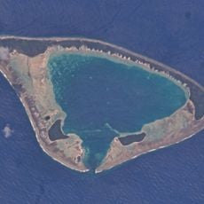
Local fishermen from Makemo incorporate traditional navigation methods while respecting the maritime boundaries when conducting their fishing activities in these waters.
Sailors use this boundary as a reference point when navigating through Tuamotu waters. The line is important for understanding fishing zones and jurisdictional areas in the region.
This boundary creates specific zones that determine maritime jurisdiction and resource management responsibilities between different administrative regions of French Polynesia.
The community of curious travelers
AroundUs brings together thousands of curated places, local tips, and hidden gems, enriched daily by 60,000 contributors worldwide.