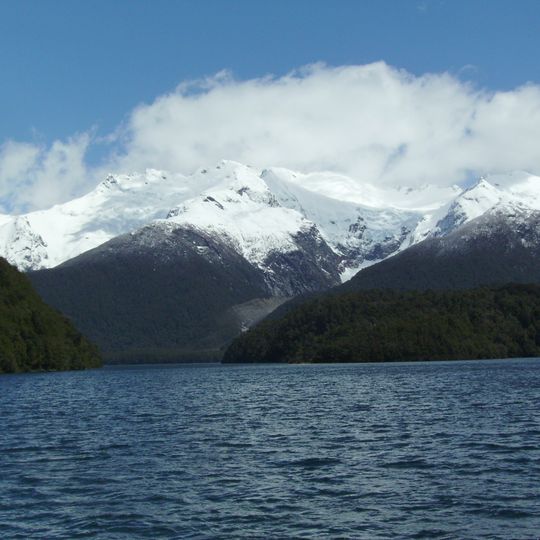
Los Alerces National Park, National park in Chubut Province, Argentina.
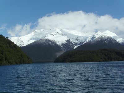
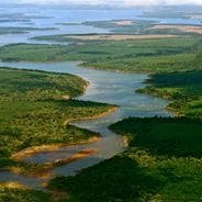
Los Alerces National Park lies in the Andes of Chubut Province, its western edge on the Chilean border, and is shaped like a rough rectangle about 65 km north to south and 45 km east to west. A chain of lakes runs through it, from Lake Rivadavia through Green Lake, Menéndez and Futalaufquen to Kruger Lake and the artificial Amutui Quimey Reservoir. The highest point is Cordon de las Pirámides at 2,440 m; the tree line sits near 1,400 m, above which lie bare rock and permanent or semi-permanent snowfields.
The Argentine government declared this area a national park in 1937 to protect ancient Fitzroya cupressoides trees, some of which exceed 3,600 years in age. The creation responded to threats from logging and the need to preserve these slow-growing species for future generations.
The Mapuche name for the alerce, lahuán, is the source of the park's identity, and the tree's scientific name, Fitzroya cupressoides, honours Captain Robert FitzRoy of the Beagle, given by Charles Darwin. Visitors reach the best-known alerce forest by boat at Puerto Sagrario, at the northern end of Lake Menéndez.
The park is most easily reached from the nearby town of Esquel, with summer months from December to March offering the best conditions for hiking and camping. Trails vary in difficulty, and weather in this mountain region can change rapidly, so visitors should come prepared.
The largest alerce known in Argentina stands at Puerto Sagrario, at the northern end of Lake Menéndez: 57 metres tall, 2.2 metres in diameter and about 2,600 years old. Regular boat tours reach it, while the taller trees thought to grow on the lake's southwestern arm lie in a restricted area.
The community of curious travelers
AroundUs brings together thousands of curated places, local tips, and hidden gems, enriched daily by 94,043 contributors worldwide.