Linares, Agricultural center in Maule Region, Chile
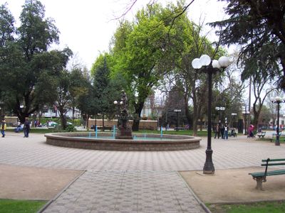
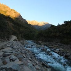
Linares is an agricultural center in the Maule Region of Chile, spreading across the Chilean Central Valley at 165 meters elevation. The city sits between the Ancoa, Putagán, and Achibueno rivers, 303 kilometers south of Santiago.
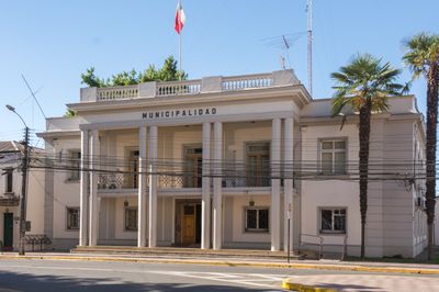
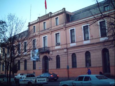
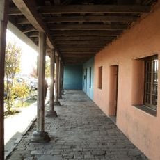
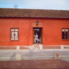
The Villa de San Ambrosio de Linares was founded on May 23, 1794, by Ambrosio O'Higgins, who served as Viceroy of Peru at that time. The foundation followed the Spanish colonial model and carried the name of its founder.
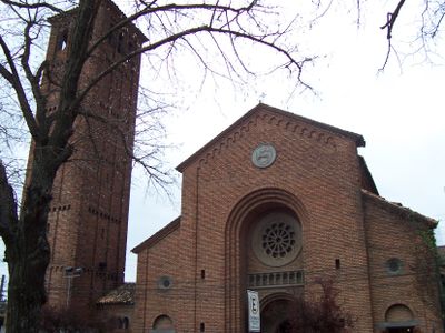
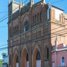
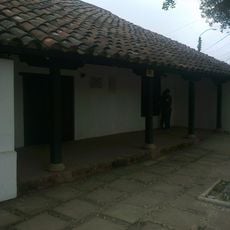
The Cathedral of Saint Ambrose shows Romanesque forms in its layout and arches. The Corazón de María church follows Gothic lines with pointed windows and tall vaults, making both houses of worship recognizable points in the cityscape.
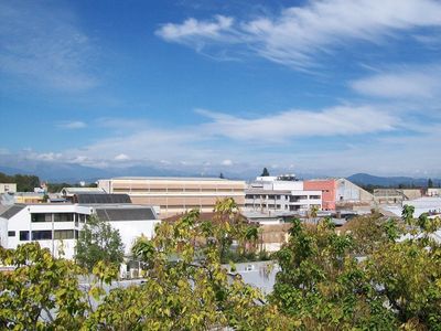
The Pan-American Highway and the north-south railroad line cross the city and connect it with Santiago to the north and the southern regions. These connections make it easier to move fruit, vegetables, and grain from the surrounding valley.
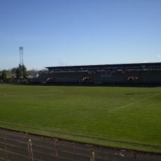
The Chilean Army Artillery School operates its training facilities within the city limits and is one of the few military specialty schools of this kind in Chile. The school trains artillery officers and crews and forms part of local daily life.
Location: Linares
Inception: May 23, 1794
Elevation above the sea: 165 m
Website: http://munilinares.cl
GPS coordinates: -35.84540,-71.59790
Latest update: December 14, 2025 17:19
Nevado de Longaví
55.3 km
Estadio Fiscal de Linares
1.3 km
Los Bellotos del Melado National Reserve
44.5 km
Palmilla
13.3 kmSantuario de la naturaleza Cajón del río Achibueno
38.8 km
Museo de Arte y Artesanía de Linares
520 m
Iglesia del Corazón de María, Linares
408 m
Museo Histórico de Yerbas Buenas
11 km
Memorial de Linares
30 mMelado Reservoir
47.3 kmReserva nacional Los Bellotos del Melado
44.5 kmMuseo de vida rural y campesina El Canario
11.5 kmCerro Los Pehuenches
48.1 kmCerro Traiguén
30.3 km
Parroquia Corazón de María de Linares
428 mCerro Quilipin
12.4 km
Sector de la Plaza de Armas de Yerbas Buenas
10.9 kmZona Típica - Pueblo de Yerbas Buenas
10.6 kmTermas de Quinamavida
16.3 kmPlaza Yerbas Buenas
11.1 kmPozones Naturales de Pejerrey
27.4 kmTeatro Municipal
251 mAnfiteatro de la Alameda
490 mPlaya_de_Río
27.4 kmWork of art, sculpture
403 mMirador Ancoa
37.6 kmMirador Tricahue
38.3 kmMirador Mañío
40.4 kmVisited this place? Tap the stars to rate it and share your experience / photos with the community! Try now! You can cancel it anytime.
Discover hidden gems everywhere you go!
From secret cafés to breathtaking viewpoints, skip the crowded tourist spots and find places that match your style. Our app makes it easy with voice search, smart filtering, route optimization, and insider tips from travelers worldwide. Download now for the complete mobile experience.
A unique approach to discovering new places❞
— Le Figaro
All the places worth exploring❞
— France Info
A tailor-made excursion in just a few clicks❞
— 20 Minutes