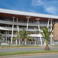
Quillota, Agricultural center in Valparaíso Region, Chile
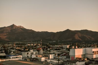
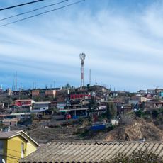
Quillota spreads along the Aconcagua River valley at about 462 meters elevation, situated on fertile soils supporting extensive fruit and agricultural production. The city functions as an agricultural center where farming activities shape the local economy and landscape.
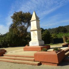
Spanish explorer Diego de Almagro reached the valley in 1536, which led to the founding of a fortress and agricultural settlement by Pedro de Valdivia. These early foundations shaped its development as a center for regional farming.
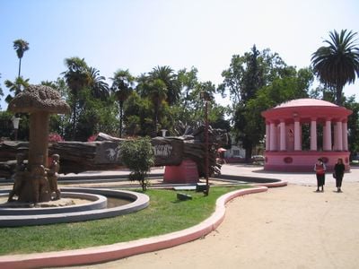
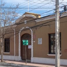
The main square displays its original colonial Spanish design organized in seven blocks, reflecting traditional urban planning methods from early Chilean settlements. This layout still defines the city center today and shows how Spanish settlers structured their towns.
The city connects to neighboring towns through a road network with regular bus services to Valparaíso, Santiago, and surrounding communities. Visitors can easily reach other destinations in the region using public transportation.
The region produces substantial quantities of avocados and cherimoyas, making it a central distribution hub for these fruits throughout Chile. This specialization has made the city an important stop for fruit trading and processing.
Location: Quillota
Inception: November 11, 1717
Elevation above the sea: 462 m
Website: https://quillota.cl
GPS coordinates: -32.87990,-71.24740
Latest update: December 14, 2025 20:00
La Campana National Park
10 km
Estadio Municipal Lucio Fariña Fernández
959 m
Casa Colonial, Quillota
141 m
Iglesia de San Martín de Tours, Quillota
97 m
Museo Histórico - Arqueológico de Quillota
141 m
Cerro Mayaca
533 m
Centro Cultural Leopoldo Silva Reynoard
706 m
Cerro Mauco
16.9 km
Réplica del monolito en memoria de los caídos en la Batalla de Concón
19.3 km
Casas patronales de la Hacienda Santa Rosa de Colmo
18.9 km
Aniversario Centro de promoción de la cultura y el arte
1.5 km
Hebras de hierro
69 m
Escenario Plaza de Armas
32 m
Árbol tallado
26 m
Medialuna San Pedro
8.1 km
El parque es de todos
1.3 km
Aviario
47 m
Salvador Concha
44 m
Estatua de mármol
50 m
Escenario
3.7 km
Don Diego Portales
41 m
Busto a Arturo Prat Chacón
917 m
Arzobispo Valenzuela
876 m
Gabriela Mistral
509 m
Pedro Aguirre Cerda
282 m
A las glorias de la caballería
4.6 km
Los niños y el árbol
34 m
Mirador Seña
10.8 kmVisited this place? Tap the stars to rate it and share your experience / photos with the community! Try now! You can cancel it anytime.
Discover hidden gems everywhere you go!
From secret cafés to breathtaking viewpoints, skip the crowded tourist spots and find places that match your style. Our app makes it easy with voice search, smart filtering, route optimization, and insider tips from travelers worldwide. Download now for the complete mobile experience.
A unique approach to discovering new places❞
— Le Figaro
All the places worth exploring❞
— France Info
A tailor-made excursion in just a few clicks❞
— 20 Minutes