
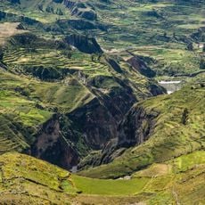
Choco District, district in Arequipa, Peru
Location: Castilla Province
Capital city: Choco
Elevation above the sea: 2,473 m
Shares border with: Ayo District, Chachas District, Caylloma District, Tapay District, Cabanaconde District, Huambo District
GPS coordinates: -15.57611,-72.13306
Latest update: March 4, 2025 13:15
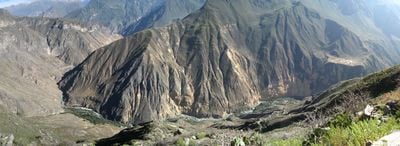
Colca Canyon
8.6 km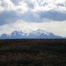
Hualca Hualca
32.7 km
Apacheta (Arequipa)
21.9 km
Chilcayoc
20.2 km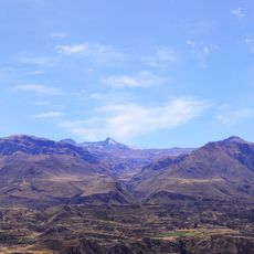
Quehuisha
40.4 km
P'aqu Urqu (Arequipa)
24.5 km
Casiri (Arequipa)
13.2 km
Condor
19.4 km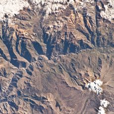
Ticlla (Castilla)
20 km
Yuraccacsa
14.5 km
Ticsho
28.2 km
Yanawara
27.8 km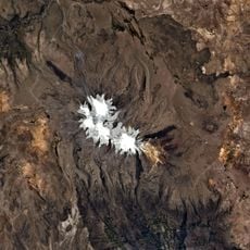
P'isqi P'isqi
35.6 km
Jechapita
19.7 km
Ch'ila
19.2 km
Ticlla (Lari)
41.1 km
Surihuiri
31.1 km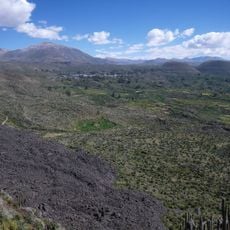
Yanamauras
25.5 km
Cerani
10.8 km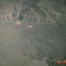
Chilcayoc Grande
17.2 km
Yuaytacondorsenja
23.8 km
Parhuayane
30.7 km
Choquepirhua
17.3 km
Quiscapampa
12.7 km
Ojeccasa
9.3 km
Airicoto
14.5 km
Chila Pillune
19.6 km
Asnohuañusja
17.4 kmReviews
Visited this place? Tap the stars to rate it and share your experience / photos with the community! Try now! You can cancel it anytime.
Discover hidden gems everywhere you go!
From secret cafés to breathtaking viewpoints, skip the crowded tourist spots and find places that match your style. Our app makes it easy with voice search, smart filtering, route optimization, and insider tips from travelers worldwide. Download now for the complete mobile experience.

A unique approach to discovering new places❞
— Le Figaro
All the places worth exploring❞
— France Info
A tailor-made excursion in just a few clicks❞
— 20 Minutes