Log in to your account

AroundUs is a community-driven map of interesting places, built by curious explorers like you. It grows with every review, story, and photo you share.
Connect to save your favorite spots, contribute locations, and create personalized routes.
Continue with Google
Continue with Apple
Continue with X
Continue with Facebook
Continue with email
By continuing, you accept our Terms and Conditions and our Privacy Policy
Create an account
Add to collection
Map
Suggest a change
Share

San Juan de Lurigancho, Administrative district in Lima, Peru.

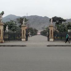
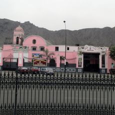
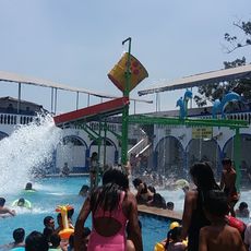
San Juan de Lurigancho is a district in eastern Lima that stretches along the hills and plains between the capital and the Andes. The area shows dense construction with residential neighborhoods that often climb the slopes in terraces, interrupted by wide thoroughfares and small green spaces.

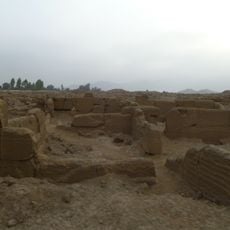
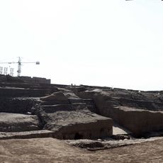
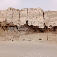
Before the Spanish arrived, settlements existed here, including the Cajamarquilla complex from the Wari culture around 500 AD. The current district was officially established in the mid-20th century when migrants from mountain regions settled here and founded new neighborhoods.

The name comes from a colonial estate that once covered much of what is now the district and later became the foundation for modern settlement. Many residents maintain traditions from different regions of Peru that they brought when they arrived, visible in local markets and celebrations.

The best time to visit is in the morning when streets are less crowded and archaeological sites are easier to reach. Those traveling by public transport should rely on main connections such as the metro line or major bus routes along Próceres Avenue.

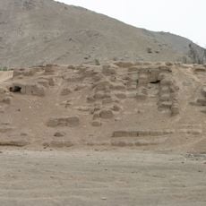
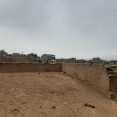
Despite its size, the district has several suburban zones where agriculture still plays a role today and small fields remain visible between residential areas. Some slopes still show remains of pre-Columbian terraces that once served for irrigation and erosion control.

Location: Lima province

Elevation above the sea: 205 m

Shares border with: Carabayllo District, Lima District, Rímac, Independencia, Comas District, San Antonio de Chaclla district, Lurigancho-Chosica, El Agustino District

Website: http://munisjl.gob.pe

GPS coordinates: -12.00222,-77.00833

Latest update: December 12, 2025 23:18

Photos
Reviews

Visited this place? Tap the stars to rate it and share your experience / photos with the community! Try now! You can cancel it anytime.

« San Juan de Lurigancho - Administrative district in Lima, Peru » is provided by Around Us (aroundus.com). Images and texts are derived from Wikimedia project under a Creative Commons license. You are allowed to copy, distribute, and modify copies of this page, under the conditions set by the license, as long as this note is clearly visible.

Discover hidden gems everywhere you go!

From secret cafés to breathtaking viewpoints, skip the crowded tourist spots and find places that match your style. Our app makes it easy with voice search, smart filtering, route optimization, and insider tips from travelers worldwide. Download now for the complete mobile experience.

Around Us App Screenshot

A unique approach to discovering new places

Le Figaro

All the places worth exploring

France Info

A tailor-made excursion in just a few clicks

20 Minutes