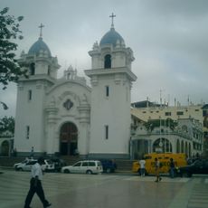
Tumbes Department, Coastal administrative region in northwestern Peru
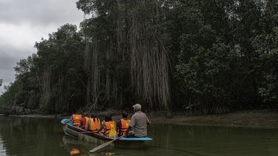
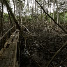
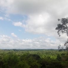
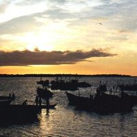
This coastal territory sits at the far northwest corner of the country, bordering the Pacific Ocean and Ecuador, with dry forests and mangrove zones shaping the landscape. The shoreline shows flat terrain with narrow beaches and river mouths, while the eastern parts rise into gentle hills and low ridges.
The Spanish expedition led by Pizarro first arrived in this area in 1532, making the zone a gateway for the conquest. Later it served as a border territory between the Viceroyalty of Peru and the Presidency of Quito until the boundary with Ecuador was settled in the 20th century.
The name comes from the Tumpis people who lived along the coast for centuries and fished the warm waters. Visitors today see place names and habits shaped by the different groups who settled here, reflected in local food, music and festivals.
Travelers reach the territory by coastal roads and a small airport in the capital, with dry season between May and November being more comfortable for trips. Buses and minivans connect the towns, while boat tours into the mangroves should be arranged with local operators in advance.
Although this territory is the smallest in the country, it ranks among the most densely populated regions outside the major urban centers to the south. The concentration of residents in a compact area creates a busy daily rhythm, especially along the coast and in the few larger settlements.
The community of curious travelers
AroundUs brings together thousands of curated places, local tips, and hidden gems, enriched daily by 60,000 contributors worldwide.