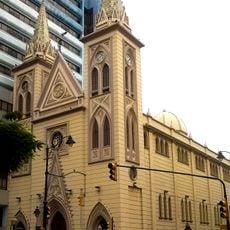
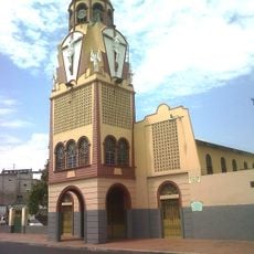
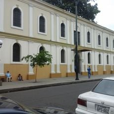
Naranjal, Administrative center in Guayas Province, Ecuador
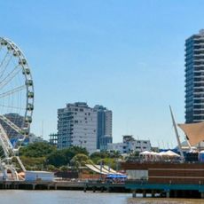
Naranjal is a city in southern Guayas Province that serves as the administrative center of its canton. It sits in fertile terrain where sugarcane, cacao, rice, coffee, and bananas are widely grown.
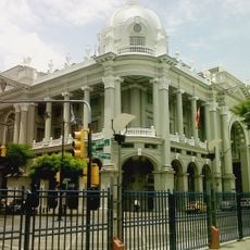
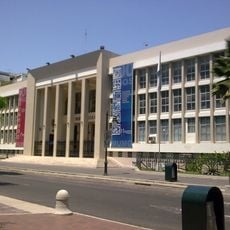
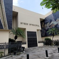
The city was officially designated as the administrative seat of its canton in 1960, marking its rise as a local government center. This designation strengthened its role in managing the surrounding region.
Agriculture shapes daily life here, with cacao fields, sugarcane, and banana plantations visible across the landscape. Farming traditions and harvest seasons structure how the community moves through the year.
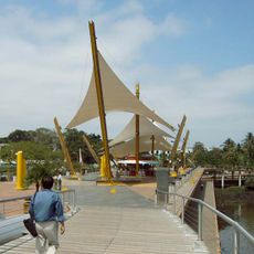
The city is well connected by road to larger centers like Guayaquil and Machala, making travel to the region straightforward. Visitors can explore the surrounding farmland and see the agricultural landscape firsthand.
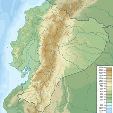
Nearby is the Manglares de Churute Ecological Reserve with mangrove forests and tidal zones full of wildlife. The area also contains thermal springs and several waterfalls that visitors can find in one region.
Location: Guayas Province
Location: Naranjal Canton
Elevation above the sea: 25 m
Website: http://naranjal.gob.ec
GPS coordinates: -2.67364,-79.61830
Latest update: December 8, 2025 13:44
Malecón 2000
60.8 km
El Cajas National Park
48.2 km
Churute Mangroves Ecological Reserve
24.6 km
Parque seminario
60.9 km
La Perla
61.3 km
Torre Morisca, Guayaquil
60.8 km
Columna de los Próceres de 1820
61.6 km
Malecón del Salado
62.4 km
Palacio Municipal de Guayaqui
60.7 km
Hospital de Especialidades Teodoro Maldonado Carbo
58.2 km
San Francisco Church, Guayaquil
61.1 km
Biblioteca Municipal de Guayaquil
60.7 km
Palacio de Cristal de Guayaquil
60.2 km
Monumento al Sagrado Corazón
62.4 km
Estadio Alejandro Ponce Noboa
55.7 km
Basilica La Merced
61.2 km
Teatro Centro Cívico Eloy Alfaro
60 km
Museo Antropologico y de Arte Contemporaneo
61.5 km
Iglesia del Cristo del Consuelo
59.9 km
Museo Municipal de la Música Popular Julio Jaramillo
61.7 km
Cárcel Municipal de Guayaquil
61.8 km
Monumento a Antonio José de Sucre, Guayaquil
60.8 km
Capilla del Cerro Santa Ana
61.9 km
Velero Bridge
62.5 km
Monumento a Vicente Rocafuerte
61.1 km
Luis Adolfo Noboa Naranjo Museum
61.2 km
Guayaquil Municipal Museum
60.8 km
Cañar River
16.5 kmVisited this place? Tap the stars to rate it and share your experience / photos with the community! Try now! You can cancel it anytime.
Discover hidden gems everywhere you go!
From secret cafés to breathtaking viewpoints, skip the crowded tourist spots and find places that match your style. Our app makes it easy with voice search, smart filtering, route optimization, and insider tips from travelers worldwide. Download now for the complete mobile experience.
A unique approach to discovering new places❞
— Le Figaro
All the places worth exploring❞
— France Info
A tailor-made excursion in just a few clicks❞
— 20 Minutes