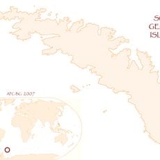
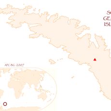
South Georgia and the South Sandwich Islands, British territory in South Atlantic Ocean.
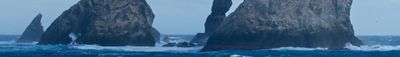
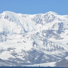
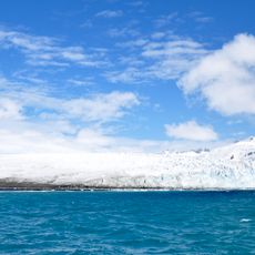
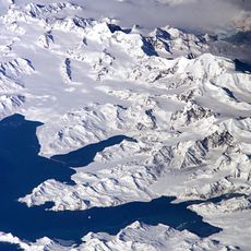
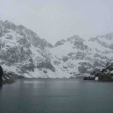
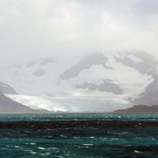
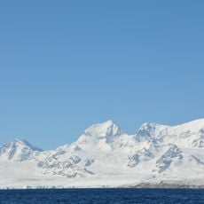
South Georgia and the South Sandwich Islands form a British overseas territory in the southern Atlantic, consisting of two widely separated island groups without permanent residents. The larger main island stretches roughly 105 miles (170 kilometers) in length and is covered by glaciers that reach down to the sea, forming steep cliffs, while the smaller volcanic group lies over 435 miles (700 kilometers) to the southeast.
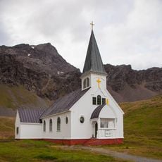
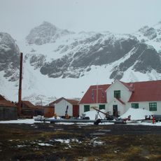
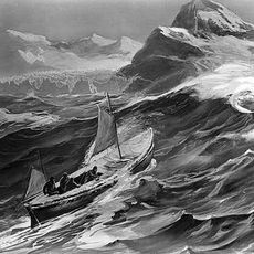
English captain James Cook charted the main island in 1775 and claimed it for the Crown, after it had been visited only sporadically by seal hunters for decades. From 1904 onward, several whaling stations arose along the north coast, processing tens of thousands of whales until the 1960s, when international protection measures ended operations.
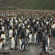
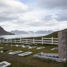
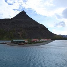
Researchers spend brief seasons at field stations, observing whales, seals, and the enormous king penguin colonies that nest on sheltered beaches. The stations bear names of former whaling posts and sit among abandoned processing sites, where rusted tanks and boilers still recall the earlier industry.
Visitors need a permit from the administration in Stanley, Falkland Islands, and usually travel between November and March on authorized expedition vessels departing from South American ports. There are no regular flights, lodgings, or tourist infrastructure, so all landings are organized from the ship and depend heavily on weather conditions.
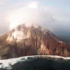
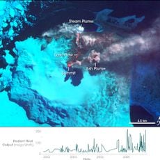
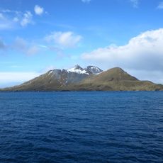
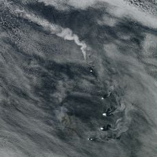
The Sandwich group forms one of the most active volcanic arcs on Earth, with eleven main peaks, while Mount Michael holds one of the few permanently active lava lakes worldwide in its crater. This glowing lake is bright enough to be observed from space by satellite and remains visible even through thick cloud cover.
The community of curious travelers
AroundUs brings together thousands of curated places, local tips, and hidden gems, enriched daily by 60,000 contributors worldwide.