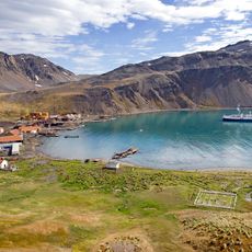
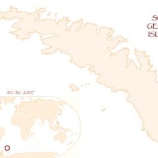
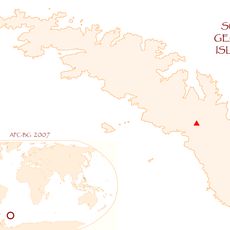
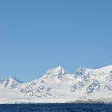
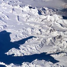
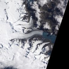
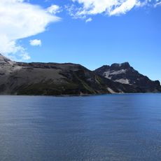
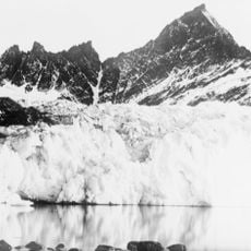
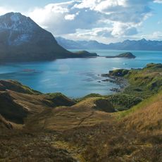
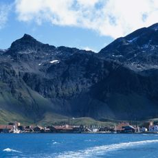
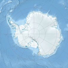
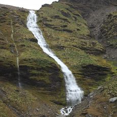
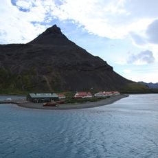
King Edward Cove, Natural cove in Cumberland East Bay, South Georgia and the South Sandwich Islands.
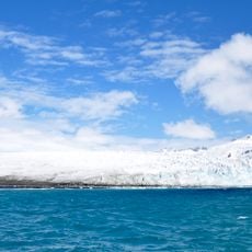
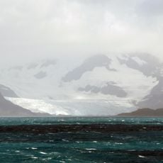
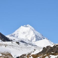
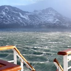
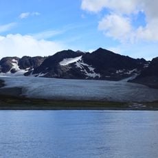
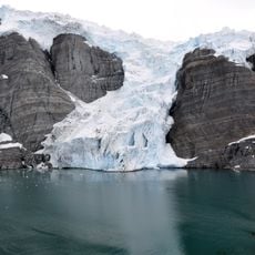
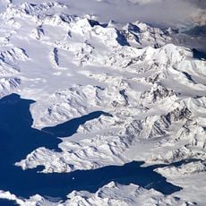
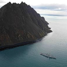
King Edward Cove is a protected cove on the western side of Cumberland East Bay in South Georgia, extending southwest from Mount Duse. The waters offer shelter from strong ocean currents and form a natural harbor for vessels in this remote region.
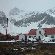
The cove was charted by Otto Nordenskiöld's Swedish Antarctic Expedition of 1901–04, which named it Grytviken, meaning 'Pot Bay'; the name passed to the whaling station built in 1904. It took its present name around 1906 for King Edward VII. On 3 April 1982 the Battle of Grytviken was fought here at Hope Point during Operation Georgias.
The cove functions as an anchorpoint for research vessels and expeditions seeking refuge from the harsh open ocean conditions. Visitors observe ongoing scientific activity and international research teams conducting their work in this remote region.
Access to the cove requires special permits and is only possible through organized expeditions or research vessels departing from South American ports. Visitors should prepare for rough sea conditions and limited visiting opportunities, as only authorized scientific missions gain access.
The cove's Spanish name, Caleta Capitán Vago, honours Ricardo A. Vago, commander of the ARA Guardia Nacional on its 1923 voyage to the islands. Measuring sea-water temperature differences, he detected the Antarctic Convergence, later confirmed by modern methods. During two weeks at Grytviken in February 1923 he surveyed the coast and compiled a census of the six fishing companies' installations.
The community of curious travelers
AroundUs brings together thousands of curated places, local tips, and hidden gems, enriched daily by 94,357 contributors worldwide.