Mount Sugartop, Mountain summit in South Georgia, South Georgia and the South Sandwich Islands
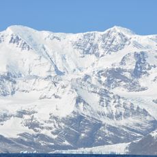
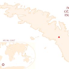
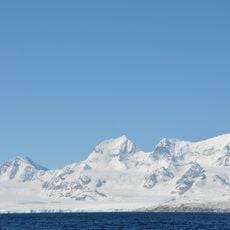
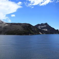
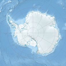
Mount Sugartop is a partly snow-covered mountain, 2,325 m high, in the Allardyce Range of South Georgia. It stands 8 km northwest of Mount Paget and was known on maps as Sugarloaf Peak before the South Georgia Survey of 1951–52 confirmed the local name Mount Sugartop.
The name Sugarloaf Peak appeared on maps of this feature for many years. After its 1951–52 surveying expedition, the South Georgia Survey reported that Mount Sugartop was well established locally, and this name was approved on the basis of local usage.
The name Mount Sugartop was formally approved after the South Georgia Survey of 1951-52 found it well established locally, replacing the earlier map name Sugarloaf Peak. The mountain stands 8 km northwest of Mount Paget, the highest peak in the Allardyce Range, and its partly snow-covered summit rises to 2,325 m.
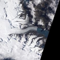
Mount Sugartop lies 8 km northwest of Mount Paget in the Allardyce Range, and the South Georgia Survey of 1951-52 approached it overland from the coast. There are no landing facilities or marked routes; access depends on a vessel crossing to South Georgia and travel across glacier and snow terrain. The summit stands at 2,325 m and is partly snow-covered.
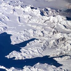
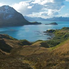
The peak sits roughly 8 kilometers (5 miles) northwest of Mount Paget and offers direct views of several other summits in the surrounding area. This perspective reveals the full extent of the Allardyce Range from the location.
The community of curious travelers
AroundUs brings together thousands of curated places, local tips, and hidden gems, enriched daily by 93,537 contributors worldwide.