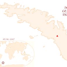
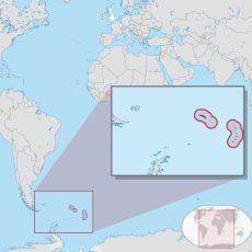
Harker Glacier, glacier in Antarctica
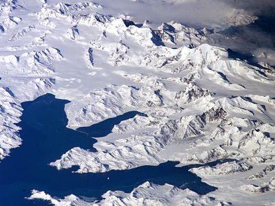
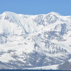
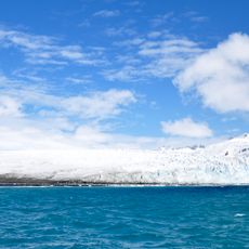
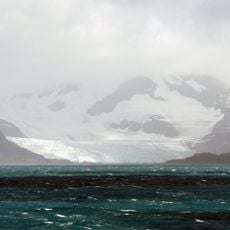
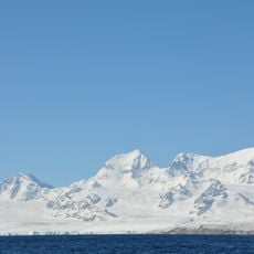
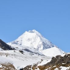
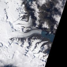
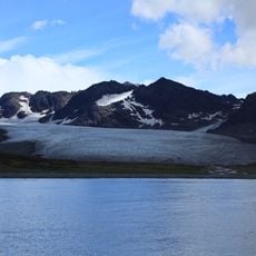
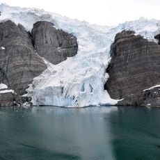
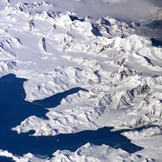
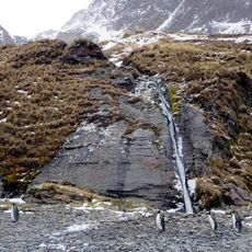
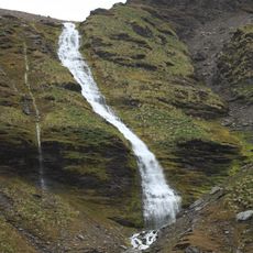
Harker Glacier is a large, slow-moving river of ice on South Georgia that flows steeply down from mountains and reaches the sea at Moraine Fjord. Its surface is rough and cracked with visible crevasses that reveal the ice's constant movement.
The glacier was first mapped in the early 1900s by a Swedish expedition that called it De Geer Glacier after a Swedish scientist. A later expedition team renamed it to honor British geologist Alfred Harker.
The glacier is named after Alfred Harker, a British geologist who studied rock formations. This naming reflects how remote Antarctic locations often honor scientists who contributed to understanding these regions.
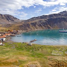
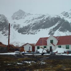
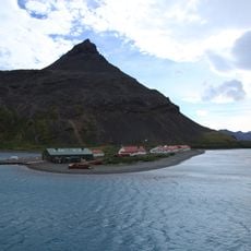
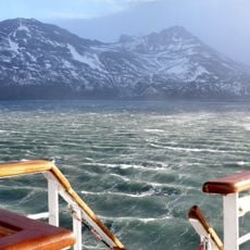
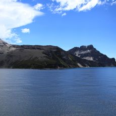
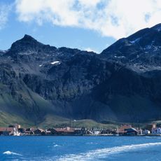
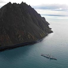
The glacier can be viewed from nearby boats or from land and is accessible via Grytviken, a small settlement that serves as a base for scientific work and visitors. The best views are from the water side where you can see the ice walls and occasionally drifting icebergs.
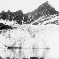
Photographs taken by explorer Frank Hurley in 1914 capture the glacier as a massive white ice formation extending far into the water, creating a striking scene. These historical images show how much farther the glacier once reached into the sea compared to its current position.
The community of curious travelers
AroundUs brings together thousands of curated places, local tips, and hidden gems, enriched daily by 60,000 contributors worldwide.