
Pellegrini Partido, department in Argentina
Location: Buenos Aires Province
Capital city: Pellegrini
Elevation above the sea: 110 m
Shares border with: Rivadavia Partido
Website: http://pellegrini.gov.ar
GPS coordinates: -36.26667,-63.16667
Latest update: March 2, 2025 23:54
Parque Luro
121.5 km
Laguna Don Tomás
110.2 km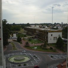
Centro cívico de Santa Rosa
107.1 km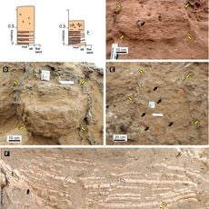
Cerro Azul Formation
151.8 km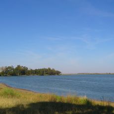
Laguna La Arocena
80.7 km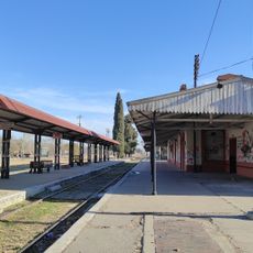
General Pico Station
85.5 km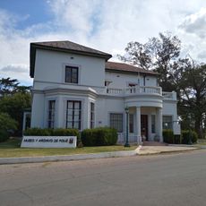
Museum and Archives of the City of Pigüé
163.3 km
Isla La Sistina
101.3 km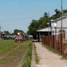
Estacion de Ferrocarril General Pinto
202.7 km
Museo MUBAL
215.2 km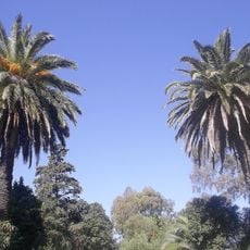
Casona Laplacette
201.5 km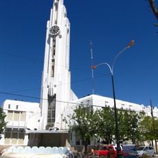
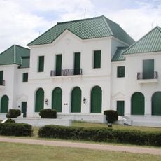
Adolfo Alsina town hall
108 km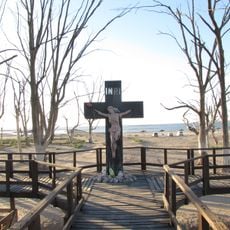
Cruz del Cementerio de Carhué
106.1 km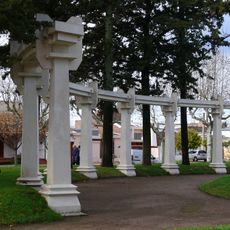
Plaza General José de San Martín
255 m
Cathedral of St. Rose of Lima
108.1 km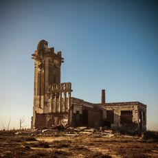
Matadero de Villa Epecuén
103.5 km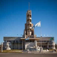
Palacio Municipal de Guaminí
106.2 km
Museo Regional Dr. Adolfo Alsina
108 km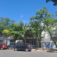
Biblioteca Popular Municipal José Manuel Estrada
85.6 km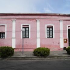
Almafuerte Civic Museum
51.1 km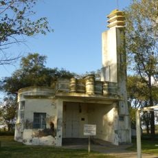
Matadero de Tres Lomas
34.9 km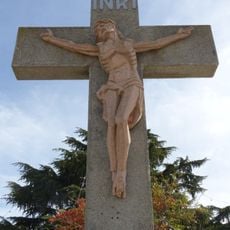
Cruz de ingreso a la ciudad de Guaminí
107.2 km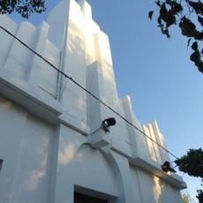
Delegación municipal de Tres Lomas
34.8 km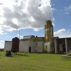
Matadero de Pellegrini
1.4 km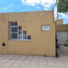
Biblioteca Popular Joaquín V. González
85.5 km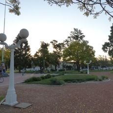
Plaza Leandro N. Alem
34.7 km
Museo Regional Maracó
85.6 km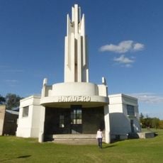
Matadero Municipal de Salliquelo
57.6 kmVisited this place? Tap the stars to rate it and share your experience / photos with the community! Try now! You can cancel it anytime.
Discover hidden gems everywhere you go!
From secret cafés to breathtaking viewpoints, skip the crowded tourist spots and find places that match your style. Our app makes it easy with voice search, smart filtering, route optimization, and insider tips from travelers worldwide. Download now for the complete mobile experience.

A unique approach to discovering new places❞
— Le Figaro
All the places worth exploring❞
— France Info
A tailor-made excursion in just a few clicks❞
— 20 Minutes