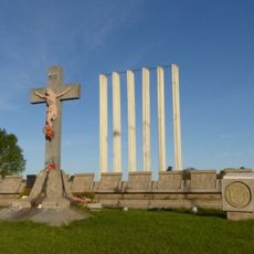
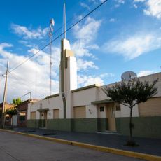
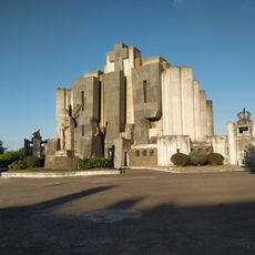
Tapalqué, human settlement in Argentina
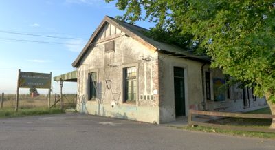
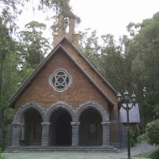
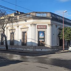
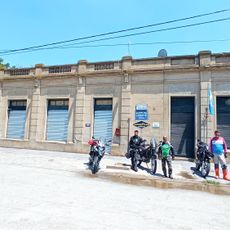
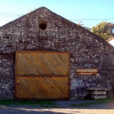
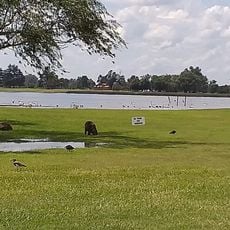
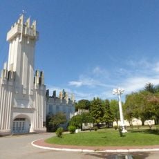
Tapalqué is a small village in the center of Buenos Aires Province, located in the humid pampas region. The village has around ten thousand residents and features a central government building, with wide open fields and grasslands stretching across the landscape.
The settlement was founded in 1826 at Laguna del Tigre, where boundary markers were placed to establish the territory. It was relocated to a safer location in 1855 and officially established as a village in 1863.
The name Tapalqué comes from the Mapuche language and refers to water and aquatic plants that grew in the area. Mapuche cultural traditions remain part of daily life, reflected in how residents value their heritage and language.
The village is about 268 kilometers from Buenos Aires and is reached by long, straight roads. Visitors should allow plenty of time for travel and are best served by having a car to explore the surrounding rural areas and nearby villages.
English naturalist Charles Darwin visited the area in 1833 and was struck by the simplicity and calm of the place. His observations of daily life and how residents lived in harmony with their surroundings offer a glimpse into the past.
The community of curious travelers
AroundUs brings together thousands of curated places, local tips, and hidden gems, enriched daily by 60,000 contributors worldwide.