
Arteaga, human settlement in Argentina
Location: Rosario departament
GPS coordinates: -33.08330,-61.80000
Latest update: March 29, 2025 22:58
Parque de la Independencia
107.7 km
Museo Histórico del Convento San Carlos
106.7 km
Field of Glory
106.9 km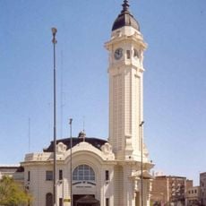
Terminal de Ómnibus Mariano Moreno
106.5 km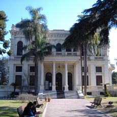
Villa Hortensia
105.3 km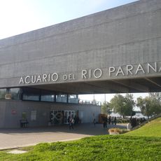
Paraná River Aquarium
106.7 km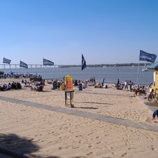
Balneario La Florida
106.3 km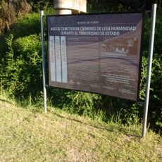
Quinta de Funes
92.8 km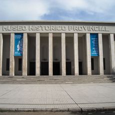
Museo Historico Provincial Doctor Julio Marc
107.3 km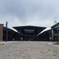
Patio de la Madera
106.7 km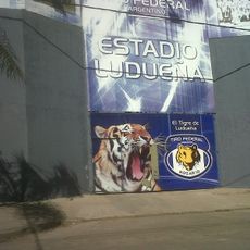
Fortín de Ludueña
104.6 km
Parque Villarino
85.9 km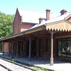
Antártida Argentina train station
100.6 km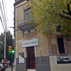
Escuela técnica Osvaldo Magnasco de Rosario
107.1 km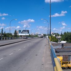
Viaducto Avellaneda
106.1 km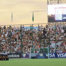
Estadio Mundialista de Hockey
98.3 km
Plaza Jewell
99.5 km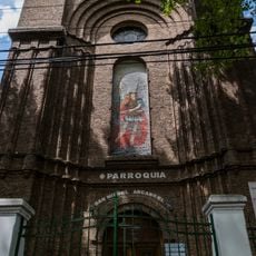
Parroquia San Miguel Arcángel
106.2 km
Sede fundacional del Club Atlético Rosario Central
106.5 km
Biblioteca Pedagógica Eudoro Díaz
107.3 km
Mirador de Melincué
72 km
Biblioteca popular Cachilo
103.6 km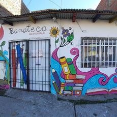
Biblioteca Popular Banateca
104.8 km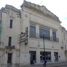
Teatro Verdi
75.7 km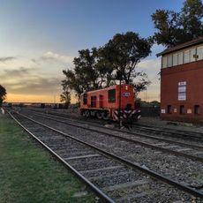
Estación de trenes. Cruce Alberdi
106.6 km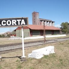
Sector del pueblo de Alcorta y el predio de la Estación del Ferrocarril Alcorta
81.1 km
Museo Ferroviario Juan Murray
94.2 km
Portal del Parque Municipal 'General Belgrano'
74.6 kmReviews
Visited this place? Tap the stars to rate it and share your experience / photos with the community! Try now! You can cancel it anytime.
Discover hidden gems everywhere you go!
From secret cafés to breathtaking viewpoints, skip the crowded tourist spots and find places that match your style. Our app makes it easy with voice search, smart filtering, route optimization, and insider tips from travelers worldwide. Download now for the complete mobile experience.

A unique approach to discovering new places❞
— Le Figaro
All the places worth exploring❞
— France Info
A tailor-made excursion in just a few clicks❞
— 20 Minutes