Enable Location

We need your location to show you interesting places around you

Discover nearby places

Find interesting locations and hidden gems around you

Precise directions

Get accurate directions and distances to places

Your location is never shared with other users. It's only used when you tap the location button.

Bagé

Log in to your account

Start exploring — it's free

Trusted by 62,602 travelers worldwide

Continue with Google
Continue with Apple
or

We will send you a code to connect

By continuing, you accept our Terms and Conditions and our Privacy Policy

Check your inbox

We've sent a pincode in your inbox. Please enter the code below.

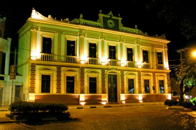
Bagé, Administrative center in Rio Grande do Sul, Brazil.

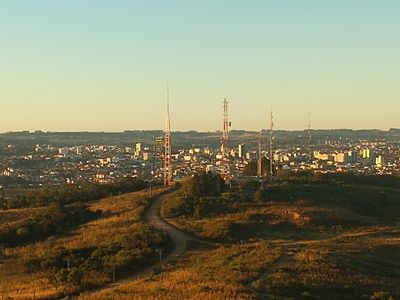
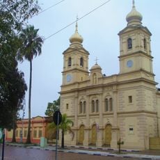
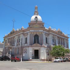
Bagé is an administrative center in Rio Grande do Sul, Brazil, near the Uruguayan border. The plain extends over low hills and wide grazing fields that stretch to the horizon.

The settlement emerged in 1811 as a military outpost during border disputes between Portugal and Spain in South America. Uruguayan and Argentine troops occupied the site in the 1820s before it became part of the Brazilian empire.

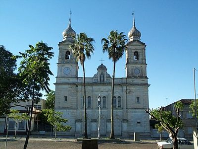
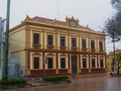
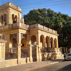
The name comes from the Guaraní word for swamp or wet lowland, recalling the original landscape of this area. Today, street cafés and public squares in the center draw locals who gather for conversation and to drink mate.

Travel routes run both by land and air, with connections to Porto Alegre and neighboring countries. The center streets are wide enough for easy walking, though temperatures in summer can rise above 86 degrees Fahrenheit (30 degrees Celsius).

Electric light appeared here for the first time in 1899, earlier than in any other city in this southern state. This technical novelty changed the nighttime cityscape and drew curious visitors from surrounding towns.

The community of curious travelers

AroundUs brings together thousands of curated places, local tips, and hidden gems, enriched daily by 60,000 contributors worldwide.

Start exploring
Inception
1811
Elevation above the sea
212 m
Shares border with
Aceguá, Lavras do Sul, Caçapava do Sul, Candiota, Dom Pedrito, Hulha Negra, Pinheiro Machado
GPS coordinates
-31.33083,-54.10694
Latest update
December 13, 2025 19:36
« Bagé - Administrative center in Rio Grande do Sul, Brazil » is provided by Around Us (aroundus.com). Images and texts are derived from Wikimedia project under a Creative Commons license. You are allowed to copy, distribute, and modify copies of this page, under the conditions set by the license, as long as this note is clearly visible.

Discover hidden gems everywhere you go!

From secret cafés to breathtaking viewpoints, skip the crowded tourist spots and find places that match your style. Our app makes it easy with voice search, smart filtering, route optimization, and insider tips from travelers worldwide. Download now for the complete mobile experience.

Around Us App Screenshot

A unique approach to discovering new places

Le Figaro

All the places worth exploring

France Info

A tailor-made excursion in just a few clicks

20 Minutes

Around Us
Travel Guide & Maps
Download

Send to your phone

QR Code
1

Open the camera app on your mobile.

2

Point at the QR code with your camera. A notification will appear.

3

Tap the notification to open the link.