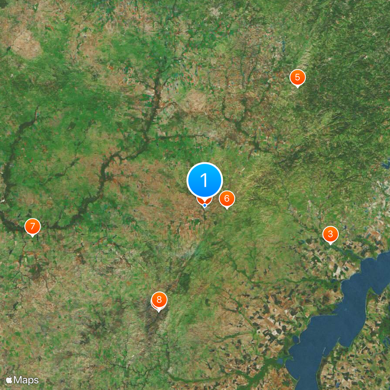
Cerro Largo Department, Administrative division in northeastern Uruguay
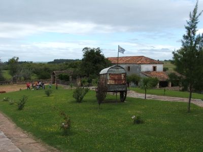
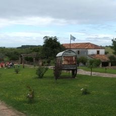
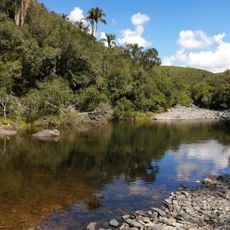
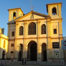
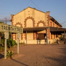
Cerro Largo is an administrative department in northeastern Uruguay with rolling terrain, river valleys, and extensive farmland spread across the region. The territory is anchored by Melo as the main city and connected by roads linking various towns throughout the area.
The department was created in 1830 as one of Uruguay's original nine administrative divisions following independence. Part of the territory was later separated to form a neighboring department.
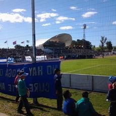
The population of 84,698 residents maintains traditions through regional festivals celebrating local music, traditional dances, and agricultural exhibitions in multiple towns.
The region has paved roads connecting major towns with regular bus service between the main cities. Travelers can move between larger urban centers by bus and then access local services to reach smaller settlements.
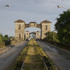
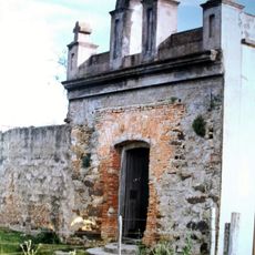
Near Melo stands a stone bridge from the 1800s crossing the Chuy del Tacuarí river, built by French Basque craftsmen. This historic structure reflects the skilled construction work that shaped the region's landscape.
Inception: 1821
Capital city: Melo
Elevation above the sea: 144 m
Part of: South America Midwest Integrated Zone
Shares border with: Durazno Department, Rivera Department, Tacuarembó Department, Treinta y Tres Department, Rio Grande do Sul
GPS coordinates: -32.36806,-54.16778
Latest update: December 20, 2025 15:03
Quebrada de los Cuervos
67.9 km
Baron of Mauá International Bridge
77.5 km
Estadio Arquitecto Antonio Eleuterio Ubilla
941 mGranja de Pedras Altas
89.1 km
Posta del Chuy
13.1 km
Capilla Farruco
103.2 km
Quebrada de los cuervos
66.8 km
Cathedral of Melo
741 m
Regional History Museum of Melo
638 m
Estación Treinta y Tres
67 km0291/2012
81.3 kmClube 24 de Agosto
78 km
Antiga Enfermaria Militar
76.3 kmForum
77.6 kmPublic Market of Jaguarão
77.6 kmTeatro Politeama Esperança
77.3 kmCerro Vichadero
83.4 km0535/13
82.2 km0535/13
82.1 kmQuilombo Tamanduá
50.3 km1327/2014
90.5 km0535/13
84.1 km0291/2012
80.6 km1154/2015
69.8 km0291/2012
78.2 km1179/09
59.4 km1179/09
60.8 km0535/13
82.9 kmVisited this place? Tap the stars to rate it and share your experience / photos with the community! Try now! You can cancel it anytime.
Municipality of Aceguá
Municipality of Arbolito
Municipality of Arévalo
municipality of Bañado de Medina
Municipality of Centurión
Municipality of Cerro de las Cuentas
Municipality of Fraile Muerto
Municipality of Isidoro Noblia
Municipality of Las Cañas
Municipality of Plácido Rosas
Municipality of Quebracho
Municipality of Ramón Trigo
Municipality of Río Branco
Municipality of Tres Islas
Municipality of Tupambaé
Discover hidden gems everywhere you go!
From secret cafés to breathtaking viewpoints, skip the crowded tourist spots and find places that match your style. Our app makes it easy with voice search, smart filtering, route optimization, and insider tips from travelers worldwide. Download now for the complete mobile experience.
A unique approach to discovering new places❞
— Le Figaro
All the places worth exploring❞
— France Info
A tailor-made excursion in just a few clicks❞
— 20 Minutes