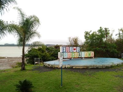
Uruguaiana, Border municipality in Rio Grande do Sul, Brazil.
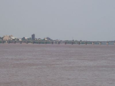
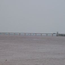
Uruguaiana is a border city in western Rio Grande do Sul that stretches along the eastern bank of the Uruguay River and faces Paso de los Libres in Argentina directly across the water. The city consists of several neighborhoods that spread from the riverfront into the flat inland landscape, where residential areas sit alongside commercial districts and open squares.
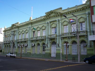
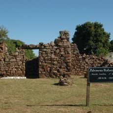
The settlement began in 1839 under the name Sant'Ana do Uruguai and was officially raised to town status in 1846. By 1874 it received city rights and developed into an important hub for cross-border trade between Brazil and Argentina.
The name comes from the Uruguay River and reflects the geographic position, while the city now serves as a busy trading post between two countries. Visitors notice the mix of Brazilian and Argentine cuisine in restaurants along the main streets, where mate tea and churrasco are equally popular on both sides of the border.
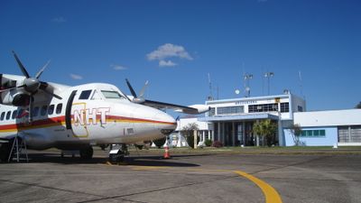
Ruben Berta Airport offers connections to Porto Alegre and other Brazilian cities, while the international bridge provides a direct border crossing into Argentina. Visitors should keep travel documents ready, as checks at the border crossing are routine and waiting times can vary depending on traffic volume.
The city is the largest population center in western Rio Grande do Sul and plays a central role in processing livestock and rice from the region. Many shops accept both Brazilian reais and Argentine pesos, reflecting the cross-border daily life of residents.
The community of curious travelers
AroundUs brings together thousands of curated places, local tips, and hidden gems, enriched daily by 60,000 contributors worldwide.