Rio Pardo, Administrative municipality in Rio Grande do Sul, Brazil.
Rio Pardo is an administrative municipality in Rio Grande do Sul located in southern Brazil, with a blend of agricultural areas and an urban center. The region spreads across gently rolling terrain known for farming and regional commerce.
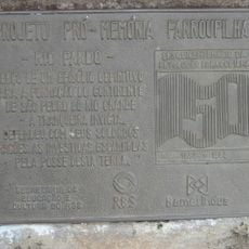
The municipality was founded in 1809 and marked an important milestone in the development of the southern state. This establishment followed early expansion plans for settling and developing the region economically.
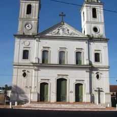
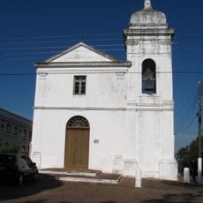
The town preserves Portuguese traditions while reflecting the influences of its diverse immigrant communities in daily customs and local celebrations.
The town is connected by roads leading to neighboring communities that support the movement of people and goods across the region. Visitors can explore the local commerce and farming landscape that defines the area.
The area earned its place as a trading hub between local farmers and regional markets over time. This position has shaped local life and economic patterns across generations.
The community of curious travelers
AroundUs brings together thousands of curated places, local tips, and hidden gems, enriched daily by 60,000 contributors worldwide.