Enable Location

We need your location to show you interesting places around you

Discover nearby places

Find interesting locations and hidden gems around you

Precise directions

Get accurate directions and distances to places

Your location is never shared with other users. It's only used when you tap the location button.

Erechim

Log in to your account

Join the adventure

Create your free account and start exploring

Save your favorite places
Create custom travel routes
Rate and review places
Access the full interactive map
Continue with Google
Continue with Apple
Continue with email
By continuing, you accept our Terms and Conditions and our Privacy Policy
Create an account

Erechim, Planned municipality in Rio Grande do Sul, Brazil

Description

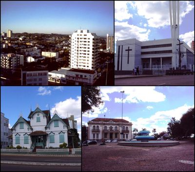
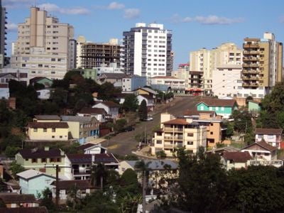
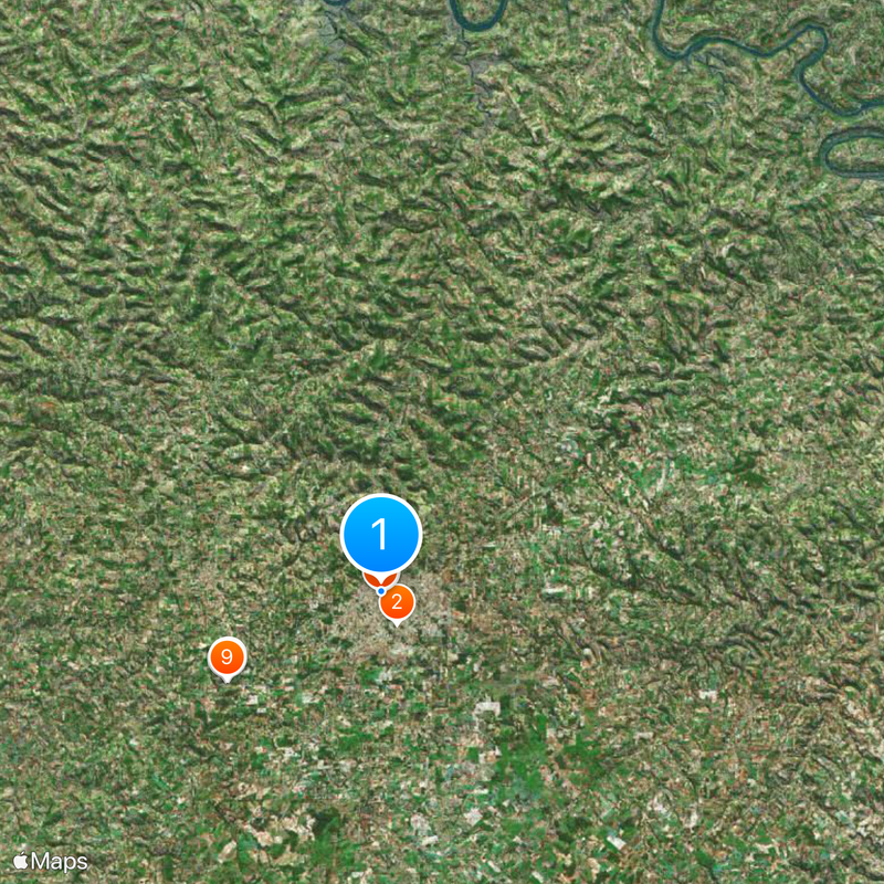
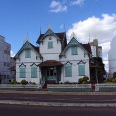
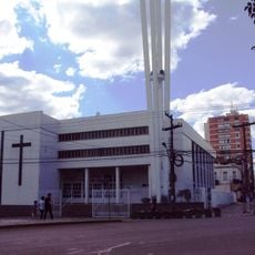
Erechim is a municipality in Rio Grande do Sul, Brazil, situated on a highland plateau at 783 meters (2,569 feet) elevation. The streets form a grid pattern with wide avenues that intersect at several central squares.

History

The settlement was established in 1918 along a railroad line connecting Rio Grande do Sul to São Paulo. In the following decades, the region developed into an important center for wheat farming in southern Brazil.

Culture

The name comes from the Guarani language and means "small field", a reference to the open grasslands that once covered this highland region. Many residents still celebrate Italian festivals and German harvest customs during the year, reflecting the roots of families who settled here generations ago.

Practical

Travelers reach the city through the local airport with scheduled flights or via paved highways from Porto Alegre and other regional centers. The cooler highland climate requires light jackets year-round, especially during winter months.

Did you know?

The urban layout follows a radial scheme with diagonal axes extending from central roundabouts, similar to Washington D.C. This design made the city one of the first planned urban projects in southern Brazil with a modern European-inspired layout.

i
i
Inception
1918
i
Elevation above the sea
783 m
i
Shares border with
Aratiba, Barão de Cotegipe, Paulo Bento, Gaurama, Áurea, Erebango, Quatro Irmãos, Getúlio Vargas, Três Arroios
i
GPS coordinates
-27.63389,-52.27389
i
Latest update
December 13, 2025 18:38

AroundUs brings together thousands of curated places, local tips, and hidden gems, enriched daily by 60,000 contributors worldwide. Discover all places nearby (Rio Grande do Sul).

Reviews

Visited this place? Tap the stars to rate it and share your experience / photos with the community! Try now! You can cancel it anytime.

« Erechim - Planned municipality in Rio Grande do Sul, Brazil » is provided by Around Us (aroundus.com). Images and texts are derived from Wikimedia project under a Creative Commons license. You are allowed to copy, distribute, and modify copies of this page, under the conditions set by the license, as long as this note is clearly visible.

Discover hidden gems everywhere you go!

From secret cafés to breathtaking viewpoints, skip the crowded tourist spots and find places that match your style. Our app makes it easy with voice search, smart filtering, route optimization, and insider tips from travelers worldwide. Download now for the complete mobile experience.

Around Us App Screenshot

A unique approach to discovering new places

Le Figaro

All the places worth exploring

France Info

A tailor-made excursion in just a few clicks

20 Minutes