
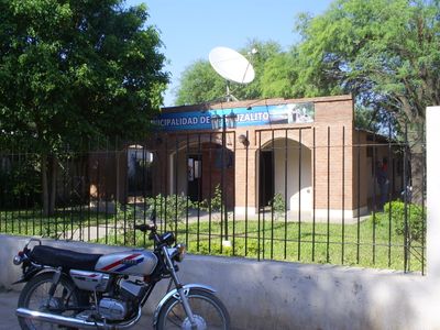
El Sauzalito, human settlement
Location: General Güemes Department, Chaco
Inception: October 26, 1976
Elevation above the sea: 132 m
GPS coordinates: -24.42833,-61.68306
Latest update: March 8, 2025 19:29
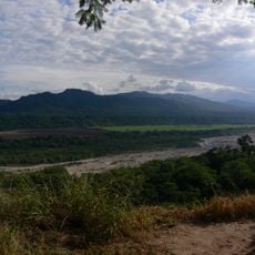
Calilegua National Park
332.6 km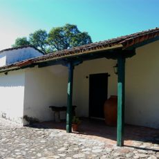
Yatasto relay
354 km
El Rey National Park
300.2 km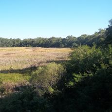
Chaco National Park
335.6 km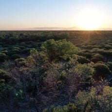
Copo National Park
172.4 km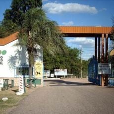
Zoológico de Sáenz Peña
294.6 km
Parque provincial Pampa del Indio
268.6 km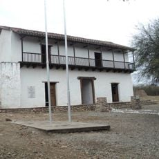
Fuerte de Cobos
347 km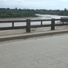
Puente Libertad
315.4 km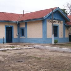
Quitilipi train station
316.6 km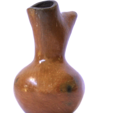
Vasija moqoit
332.8 km
Popular and Public Library Juan Martín de Pueyrredón
314.4 km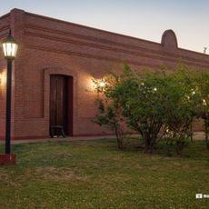
Museo de la Fundación
291.6 km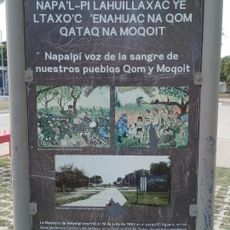
Entrada a Colonia Aborígen
318.1 km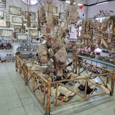
Florentino Ameghino
332.1 km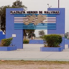
Plazoleta Héroes de Malvinas
332.2 km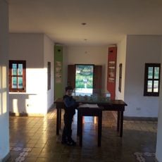
Casa Cruz
287.9 km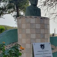
Centro Cultural "Mario Nestoroff"
332.1 km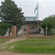
E.E.P N° 1087 "Florencio Ruiz"
332.8 km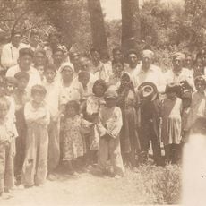
Colección de fotografías de Esteban Zugasti
274.8 km
Acceso central San Bernardo
332.3 km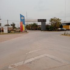
Entrada San Bernardo "Ciudad de la Primavera"
332.3 km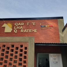
Instituto del Aborigen chaqueño - Colonia Aborigen
317.8 km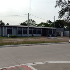
Nuevo Banco del Chaco
318.1 km
Biblioteca Popular José Ingenieros
305.5 km
Centro de Educación Fisica Nº15 San Bernardo
332.8 km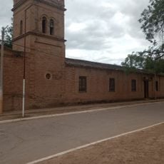
Edificio Principal Casa Misional
59.8 km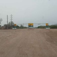
Portal de entrada de El Sauzalito
1.3 kmReviews
Visited this place? Tap the stars to rate it and share your experience / photos with the community! Try now! You can cancel it anytime.
Discover hidden gems everywhere you go!
From secret cafés to breathtaking viewpoints, skip the crowded tourist spots and find places that match your style. Our app makes it easy with voice search, smart filtering, route optimization, and insider tips from travelers worldwide. Download now for the complete mobile experience.

A unique approach to discovering new places❞
— Le Figaro
All the places worth exploring❞
— France Info
A tailor-made excursion in just a few clicks❞
— 20 Minutes