Enable Location

We need your location to show you interesting places around you

Discover nearby places

Find interesting locations and hidden gems around you

Precise directions

Get accurate directions and distances to places

Your location is never shared with other users. It's only used when you tap the location button.

Ivaiporã

Log in to your account

Start exploring — it's free

Trusted by 63,118 travelers worldwide

Continue with Google
Continue with Apple
or

We will send you a code to connect

By continuing, you accept our Terms and Conditions and our Privacy Policy

Check your inbox

We've sent a pincode in your inbox. Please enter the code below.

Discussion Reviews 1 Photos
1.7k Popularity

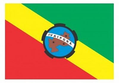
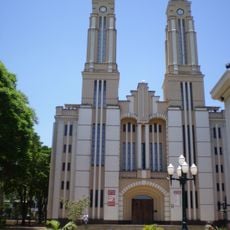
Ivaiporã, Municipality in Norte Central Paranaense region, Paraná, Brazil.

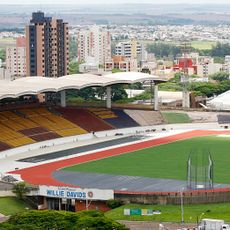
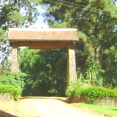
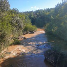
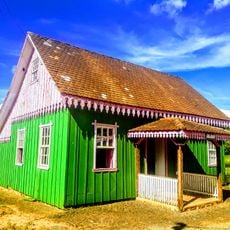
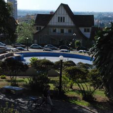
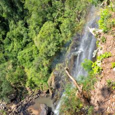
Ivaiporã is a municipality in the Norte Central region of Paraná in southeastern Brazil, located on elevated terrain and surrounded by forests and farmland. The settlement sits on a highland plateau where the landscape shows the mix of natural and cultivated areas.

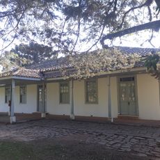
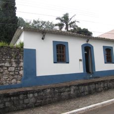
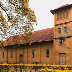
The municipality was founded in the early 1900s during a period of agricultural expansion in the region. This farming boom allowed a stable settlement to grow and become established.

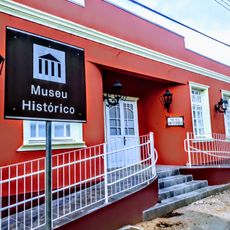
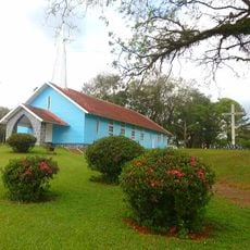
The people here call themselves Ivaiporãnense and keep their regional ties alive through events that celebrate local traditions and customs. These gatherings show how the community maintains its own identity.

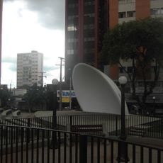
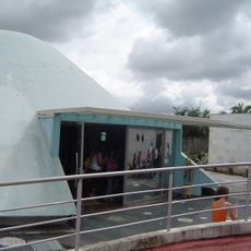
The municipality is accessible through area code 43 and has basic public services like schools and health clinics available. Visitors will find the essentials they need for a comfortable stay.

The municipality sits on a highland plateau, which shapes the local climate and farming practices in distinct ways. This geographical position makes it an interesting example of how communities adapt to their natural surroundings.

The community of curious travelers

AroundUs brings together thousands of curated places, local tips, and hidden gems, enriched daily by 60,000 contributors worldwide.

Start exploring
Location
Elevation above the sea
692 m
Shares border with
Jardim Alegre, Rio Branco do Ivaí, Grandes Rios, Ariranha do Ivaí, Manoel Ribas, Arapuã
GPS coordinates
-24.24778,-51.68500
Latest update
December 14, 2025 12:21
Reviews
Share your experience

No review yet

Discussions
Start a discussion...

No discussion yet

« Ivaiporã - Municipality in Norte Central Paranaense region, Paraná, Brazil » is provided by Around Us (aroundus.com). Images and texts are derived from Wikimedia project under a Creative Commons license. You are allowed to copy, distribute, and modify copies of this page, under the conditions set by the license, as long as this note is clearly visible.

Discover hidden gems everywhere you go!

From secret cafés to breathtaking viewpoints, skip the crowded tourist spots and find places that match your style. Our app makes it easy with voice search, smart filtering, route optimization, and insider tips from travelers worldwide. Download now for the complete mobile experience.

Around Us App Screenshot

A unique approach to discovering new places

Le Figaro

All the places worth exploring

France Info

A tailor-made excursion in just a few clicks

20 Minutes

Around Us
Travel Guide & Maps
Download

Send to your phone

QR Code
1

Open the camera app on your mobile.

2

Point at the QR code with your camera. A notification will appear.

3

Tap the notification to open the link.