São Joaquim National Park, National park in Santa Catarina, Brazil.
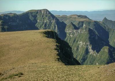
São Joaquim National Park covers approximately 49,300 hectares across the Serra Geral mountain range, featuring altitudes from 350 to 1,822 meters above sea level with diverse ecosystems including Atlantic Forest, Araucaria forests, cloud forests, and high-altitude grasslands throughout its protected territory.
The park was established on July 6, 1961, following a proposal by agronomist João Rodrigues de Mattos in 1957 to protect Araucaria forests and water sources from deforestation, marking an important milestone in regional environmental conservation policy and sustainable development efforts.
Local communities surrounding the park maintain rural traditions tied to forestry, agriculture, and livestock, with regional cuisine featuring smoked meats, cheeses, and yerba mate that reflect mountain lifestyles and the cultural practices of Santa Catarina settlers and indigenous influences.
The park is accessible primarily through Urubici, with visitor centers, information panels, and guided tours available at entrance points, and visitors should prepare for variable weather conditions, especially during winter when temperatures drop below freezing and snow occurs.
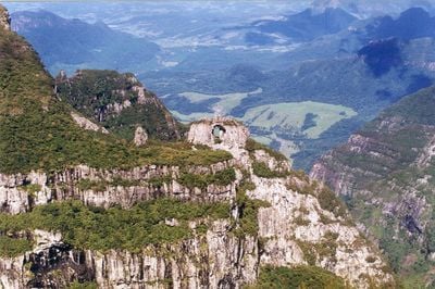
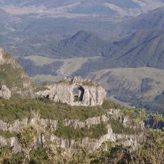
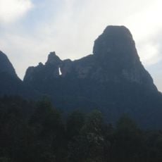
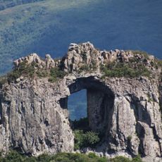
Morro da Igreja, the highest point at 1,822 meters, experiences snowfall during winter months, creating rare icy landscapes uncommon in Brazil, and features the Pedra Furada rock formation, a natural arch-shaped landmark popular among hikers and photographers seeking dramatic dawn views.
The community of curious travelers
AroundUs brings together thousands of curated places, local tips, and hidden gems, enriched daily by 60,000 contributors worldwide.