Palhoça, Municipality in Greater Florianópolis, Brazil
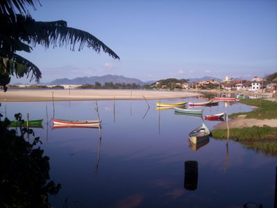
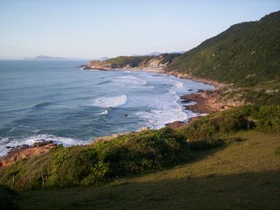
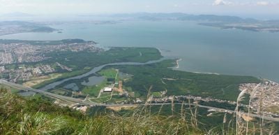
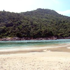
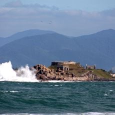
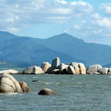
Palhoça is a municipality in Santa Catarina along the Atlantic coast, covering 395 square kilometers and forming part of the core urban zone of Greater Florianópolis. The territory includes long stretches of mangrove forest along the waterways, beaches on the eastern shore, and forested hills in the western interior.
The settlement began in 1793 as a military outpost between Lages and Florianópolis, intended to protect the capital from possible coastal attacks. Over time, the outpost grew into an independent municipality, expanding due to its position along important trade and transport routes linking different regions.
The name refers to the thatched huts built by early settlers using palm leaves and other natural materials available nearby. Today, several street names and local references still recall these early dwellings that shaped the way people lived in the region.
The municipality sits along highways BR-282 and BR-101, which connect to Santo Amaro da Imperatriz, São José, and Paulo Lopes. Visitors find beaches and coastal areas in the eastern part, while the western zone offers forested hills and quieter natural landscapes.
Serra do Tabuleiro State Park covers 84,130 hectares (207,900 acres) within the municipal boundaries and forms the largest protected area in Santa Catarina. The waterways from this park supply drinking water to the entire Greater Florianópolis region and help regulate the local climate.
The community of curious travelers
AroundUs brings together thousands of curated places, local tips, and hidden gems, enriched daily by 60,000 contributors worldwide.