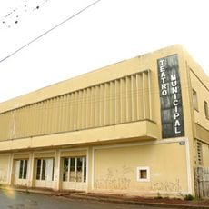
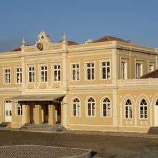
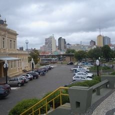
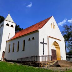
Carambeí, Dutch settlement municipality in Paraná, Brazil
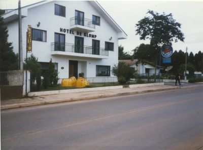
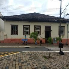
Carambeí is a municipality in Paraná state in southern Brazil, located in highland terrain at approximately 1000 meters elevation. The area displays Dutch settlement patterns and was shaped by European immigrants who established their own cooperative community.
The municipality was founded in 1911 by Dutch immigrants who settled in the region and established a cooperative. It received official municipal status in 1995, formalizing its administrative structure.
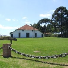
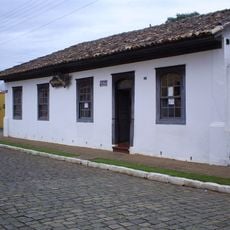
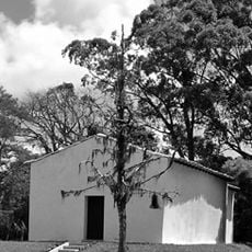
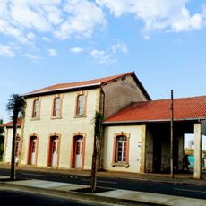
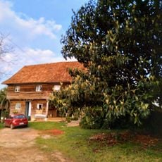
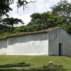
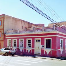
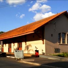
The Historical Park displays traditional Dutch-style houses where visitors can experience the European immigrant heritage through museums and exhibition spaces. The architecture and displayed objects convey impressions of how the early European settlers lived and worked.
The location sits at elevation, meaning temperatures are cooler than in lower-lying Brazilian regions, ranging from about 10 degrees Celsius in winter to 27 degrees Celsius in summer. Visitors should pack appropriate clothing for the season, as frost and cool nights are possible.
The name derives from Guarani words meaning "turtle water" in reference to a local river. This naming reflects the historical connection between Dutch settlers and the indigenous culture already present in the region.
Location: Paraná
Elevation above the sea: 1,051 m
Shares border with: Castro, Ponta Grossa, Tibagi
Website: http://carambei.pr.gov.br
GPS coordinates: -24.91778,-50.09694
Latest update: December 7, 2025 10:08
Estádio Germano Krüger
22.9 km
Campos Gerais National Park
20 km
Parque Histórico de Carambeí
4.3 km
Museu do Tropeiro
17.1 km
Cineteatro Ópera
20.9 km
Capela de Santa Bárbara do Pitangui
14.2 km
Museu Campos Gerais
20.8 km
Museu de Arqueologia de Ponta Grossa
23.4 km
Estação Paraná
20.4 km
Centro de Cultura Cidade de Ponta Grossa
20.8 km
Teatro Municipal Álvaro Augusto Cunha Rocha
23.5 km
Saudade Station
20.4 km
Faris Michaeli Municipal Library
20.4 km
Igreja Santa Terezinha de Terra Nova de Castro
12.9 km
Das Kolonistenhaus
12 km
Casa situada à Rua Jorge Xavier da Silva, esquina com Benjamin Constant
16.9 km
Mansão Vila Hilda
20.5 km
Estações de Passageiros da Estrada de Ferro de Ponta Grossa
20.5 km
Capela de Santa Bárbara do Pitangui
14.2 km
Reservatório de Água de Ponta Grossa
20.2 km
Igreja de Nossa Senhora Imaculada Conceição
19.9 km
Igreja Nossa Senhora do Rosário (Ponta Grossa)
20.5 km
Casa do Divino
20.8 km
Estação Arte
20.6 km
Igreja Sagrado Coração de Jesus (Ponta Grossa)
20.8 km
Igreja matriz da Paróquia Sant'Ana de Castro
17.1 km
Rua Augusto Ribas
21 km
Sede do Colégio São Luiz
20.5 kmVisited this place? Tap the stars to rate it and share your experience / photos with the community! Try now! You can cancel it anytime.
Discover hidden gems everywhere you go!
From secret cafés to breathtaking viewpoints, skip the crowded tourist spots and find places that match your style. Our app makes it easy with voice search, smart filtering, route optimization, and insider tips from travelers worldwide. Download now for the complete mobile experience.
A unique approach to discovering new places❞
— Le Figaro
All the places worth exploring❞
— France Info
A tailor-made excursion in just a few clicks❞
— 20 Minutes