Ortigueira

Log in to your account

AroundUs is a community-driven map of interesting places, built by curious explorers like you. It grows with every review, story, and photo you share.
Connect to save your favorite spots, contribute locations, and create personalized routes.
Continue with Google
Continue with Apple
Continue with X
Continue with Facebook
Continue with email
By continuing, you accept our Terms and Conditions and our Privacy Policy
Create an account
Add to collection
Map
Suggest a change
Share

Ortigueira, Administrative municipality in eastern Paraná, Brazil

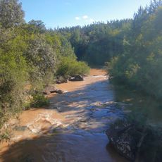
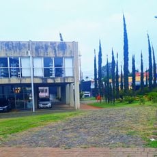
Ortigueira is a municipality in eastern Paraná, extending across a large area of rolling terrain in southern Brazil. The region combines agricultural land with industrial facilities that shape the local economy and daily work of residents.

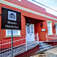
The municipality was established in 1961 when it separated from the nearby city of Telêmaco Borba to become independent. From its founding onward, development has centered on agriculture and later on industrial production.

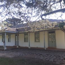
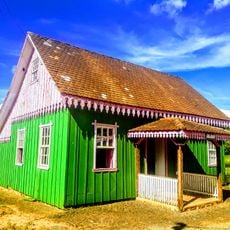
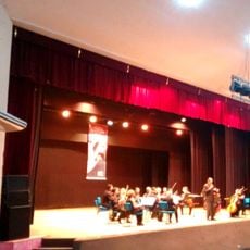
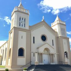
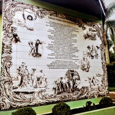
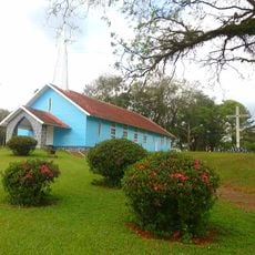
The town preserves traditions brought by Italian and German settlers, which appear in local festivals and farmers' markets showing regional products and customs passed down through generations. These connections to immigrant heritage remain active in community life today.

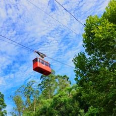
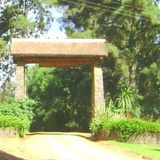
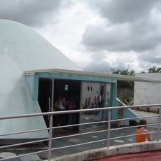
The area is mainly accessible to visitors interested in agriculture and industrial production or traveling through the larger region. The best time to explore is during the local festival months when most activities and markets take place.

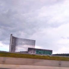
The Klabin industrial complex nearby is one of the largest paper and cellulose production facilities in South America. This major manufacturing hub shapes not just the local economy but also employment and infrastructure across the broader region.

Location: Paraná

Elevation above the sea: 758 m

Shares border with: Tamarana, Rosário do Ivaí, Imbaú, Curiúva, Faxinal, Grandes Rios, Mauá da Serra, Reserva, São Jerônimo da Serra, Sapopema, Telêmaco Borba

Website: http://ortigueira.pr.gov.br

GPS coordinates: -24.20778,-50.94889

Latest update: December 7, 2025 19:28

Photos
Reviews

Visited this place? Tap the stars to rate it and share your experience / photos with the community! Try now! You can cancel it anytime.

« Ortigueira - Administrative municipality in eastern Paraná, Brazil » is provided by Around Us (aroundus.com). Images and texts are derived from Wikimedia project under a Creative Commons license. You are allowed to copy, distribute, and modify copies of this page, under the conditions set by the license, as long as this note is clearly visible.

Discover hidden gems everywhere you go!

From secret cafés to breathtaking viewpoints, skip the crowded tourist spots and find places that match your style. Our app makes it easy with voice search, smart filtering, route optimization, and insider tips from travelers worldwide. Download now for the complete mobile experience.

Around Us App Screenshot

A unique approach to discovering new places

Le Figaro

All the places worth exploring

France Info

A tailor-made excursion in just a few clicks

20 Minutes