Pariquera-Açu, Administrative municipality in São Paulo, Brazil
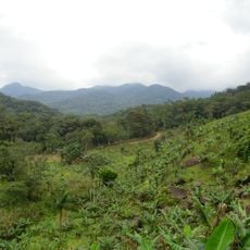
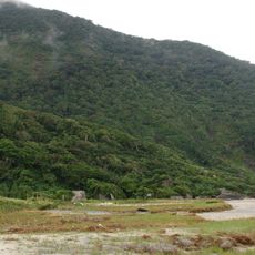
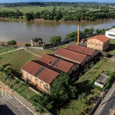
Pariquera-Açu is a municipality in São Paulo that spreads across lowland terrain surrounded by farmland and agricultural areas. The town sits at around 39 meters elevation and is connected to neighboring regions through regional road networks.
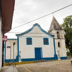
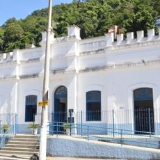
The municipality gained its official status on December 29, 1953, marking the shift from earlier indigenous settlements to a formally organized administrative division. This establishment created the foundation for local government and public services in the area.
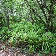
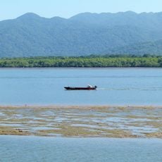
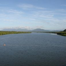
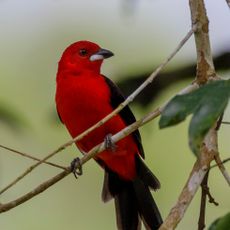
The name comes from Tupi words meaning 'big river of the parrots', showing how the landscape shaped the people who lived here first. This connection to nature is still visible in how locals relate to their surroundings today.
Visiting this municipality is best done by car, as regional roads are the main connection and public transport options are limited. It helps to check ahead about local services and plan your visit around the local rhythm of activity.
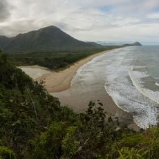
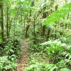
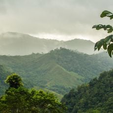
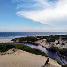
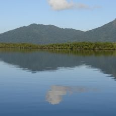
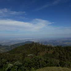
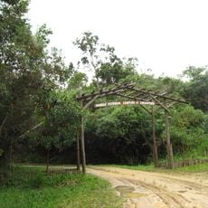
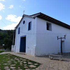
The municipality sits within Vale do Ribeira, a region that maintains a balance between settlements and natural resources. This location makes it an example of how rural areas can keep their connection to the surrounding landscape.
The community of curious travelers
AroundUs brings together thousands of curated places, local tips, and hidden gems, enriched daily by 60,000 contributors worldwide.