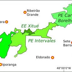
Eldorado, Administrative division in São Paulo state, Brazil
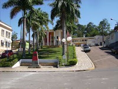
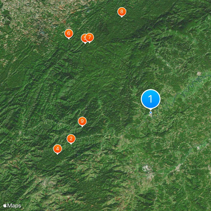
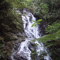
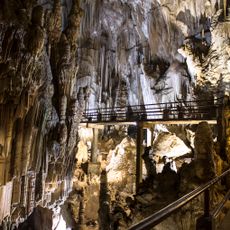
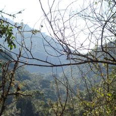
The municipality of Eldorado extends across diverse terrain with agricultural lands and natural reserves in southeastern Brazil near the Atlantic coast.
Eldorado emerged as a settlement during Brazil's colonial period, developing from a small farming community into an established administrative region.
The Instituto Eldorado serves as a center for technological research and development, contributing to Brazil's advancement in various industrial sectors.
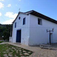
Eldorado maintains several public facilities, including a municipal building, educational institutions, and health centers serving the local population.
The region houses specialized laboratory facilities spanning 3,000 square meters dedicated to testing and certification of technological innovations.
Location: São Paulo
Elevation above the sea: 62 m
Shares border with: Cajati, Barra do Turvo, Capão Bonito, Iporanga, Jacupiranga, Registro, Ribeirão Grande, Sete Barras
Website: http://eldorado.sp.gov.br
GPS coordinates: -24.52000,-48.10806
Latest update: May 27, 2025 08:47
Alto Ribeira State and Tourist Park
48.7 km
Intervales State Park
41.8 km
Atlantic Forest South-East Reserves
40.8 km
Mata Atlântica Biosphere Reserve
40.8 km
Caverna do Diabo State Park
38.4 km
Jacupiranga State Park
45.9 km
Cajati Environmental Protection Area
35.7 km
Temimina I and II Caves
49 km
Serra do Mar Environmental Protection Area
33.8 km
Paranapiacaba Conservation Units Mosaic
41.8 km
Xitué Ecological Station
35.2 km
Jacupiranga Mosaic
45.9 km
Quilombos do Médio Ribeira Environmental Protection Area
26.4 km
Caverna Ouro Grosso
57.7 km
Caverna das Aranhas
49.6 km
Caverna do Chapéu
49.8 km
Kaigai Koygyo Kabushiki Kaisha
27.3 km
Caverna Temimina II
49 km
Capela Nossa Senhora do Rosário dos Homens Pretos
18 km
Núcleo Caboclos
49.4 km
Cave Chapéu Mirim
51.1 km
Gruta Luminosa
42.4 km
Caverna Chapéu Mirim I
51.1 km
Caverna Temimina I
49 km
Cachoeira do Arcão
42 km
Museu de Cultura Tradicional Serra dos Motta
58.1 km
Historic center of Iporanga
49.7 km
Cachoeiras do Sem Fim
56.7 kmReviews
Visited this place? Tap the stars to rate it and share your experience / photos with the community! Try now! You can cancel it anytime.
Discover hidden gems everywhere you go!
From secret cafés to breathtaking viewpoints, skip the crowded tourist spots and find places that match your style. Our app makes it easy with voice search, smart filtering, route optimization, and insider tips from travelers worldwide. Download now for the complete mobile experience.
A unique approach to discovering new places❞
— Le Figaro
All the places worth exploring❞
— France Info
A tailor-made excursion in just a few clicks❞
— 20 Minutes