Cerro Azul, Municipality in Paraná, Brazil.
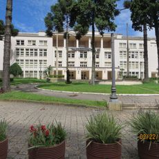
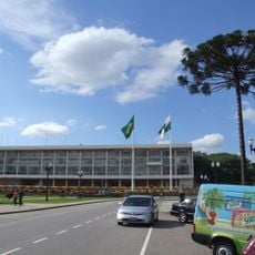
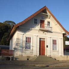
Cerro Azul is a municipality located in the southern Brazilian region of Paraná, situated in rolling terrain at about 493 meters in elevation. The municipality spans approximately 1,341 square kilometers and borders eight neighboring areas.
Its establishment as an independent municipality was a key moment in the administrative development of the region during Brazil's reform period. This event shaped how the southern Paraná area was organized.
The people here identify as cerro-azulenses and shape daily life through local festivals and community gatherings held year-round. These events reflect how the community connects with its surroundings.
The area is best explored by taking time to visit the neighboring municipalities and get a full sense of the landscape. The local dialing code 41 is useful for anyone calling from outside the region.
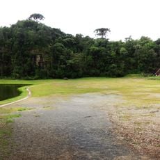
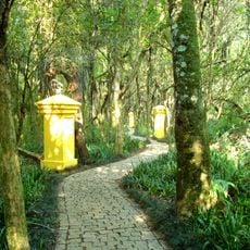
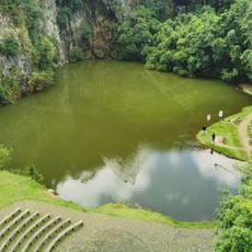
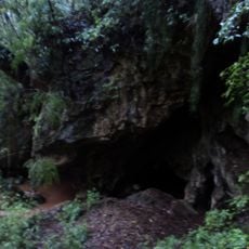
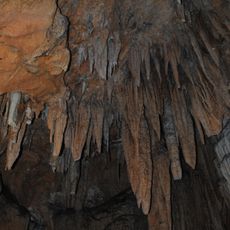
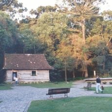
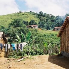
Within the municipality lies the Campinhos State Park, a protected area featuring extensive natural environment. This park offers visitors a chance to see the local plant and animal life in their natural setting.
Location: Paraná
Elevation above the sea: 493 m
Shares border with: Adrianópolis, Bocaiúva do Sul, Castro, Doutor Ulysses, Itapirapuã Paulista, Ribeira, Rio Branco do Sul, Tunas do Paraná
GPS coordinates: -24.82389,-49.26083
Latest update: December 7, 2025 20:49
Oscar Niemeyer Museum
65.2 km
Wire Opera House
62.4 km
Parque Tanguá
61.8 km
Pedreira Paulo Leminski
62.4 km
State College of Paraná
66.8 km
Torre da Telepar
66.9 km
Bosque Alemão
64.9 km
Iguaçu palace
65.6 km
Parque Tingüi
63.6 km
Memorial Ucraniano
64.5 km
Bosque de Portugal
66 km
Museu da Vida
65.9 km
Museu Egípcio e Rosacruz
63.2 km
Igreja Ortodoxa Antioquina São Jorge
67 km
Parque da Ciência Newton Freire Maia
63.6 km
29 de Março palace
66 km
Centro Israelita do Paraná
65.8 km
Landmarks in Curitiba
66.7 km
Zaninelli woods
64 km
Gruta da Lancinha
38.4 km
Campinhos State Park
29.4 km
Museu do Lixo que não é lixo
63.6 km
Bosque do Papa
65.2 km
AMORC Building in Curitiba
63.2 km
Antiga Prefeitura de Almirante Tamandaré
53.9 km
Palacete Leão Junior
66.5 km
Templo Evangélico Luterano
66.8 km
Quilombo Cangume
46.9 kmVisited this place? Tap the stars to rate it and share your experience / photos with the community! Try now! You can cancel it anytime.
Discover hidden gems everywhere you go!
From secret cafés to breathtaking viewpoints, skip the crowded tourist spots and find places that match your style. Our app makes it easy with voice search, smart filtering, route optimization, and insider tips from travelers worldwide. Download now for the complete mobile experience.
A unique approach to discovering new places❞
— Le Figaro
All the places worth exploring❞
— France Info
A tailor-made excursion in just a few clicks❞
— 20 Minutes