Couto Cave, Limestone cave in Alto Ribeira State Park, Brazil
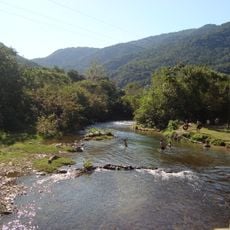
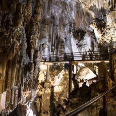
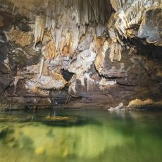
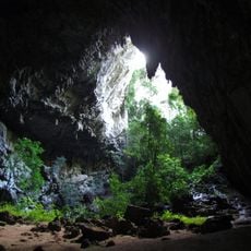
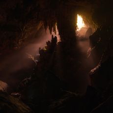
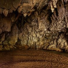
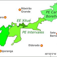
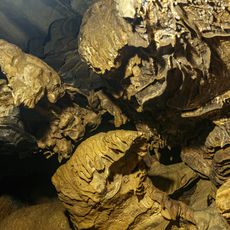
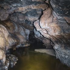
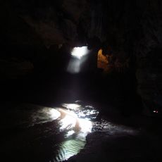
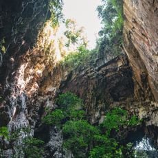
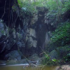
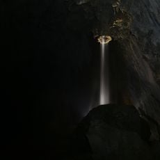
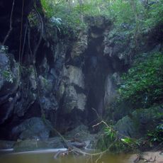
Couto Cave, officially Caverna do Morro do Couto, is a cave in the Santana Nucleus of Alto Ribeira State Tourist Park in Iporanga, São Paulo. It is part of the Onça Parda–Morro Preto–Couto karst system, linked to Morro Preto Cave by an underground river not accessible to visitors. Entry is through a small portal that requires bending down; inside, a staircase leads to the confluence of two water bodies, one from Morro Preto Cave and the other the Couto stream. The cave is sparsely ornamented, with walls shaped by water, and ends in a sinkhole with a large portal formed by block collapse.
Richard Krone, a naturalist and paleontologist, recorded the cave in 1908, making the first sketches and noting lithics, ceramics, hearths and many mollusc shells. In 1964 Le Bret and Lourival de Campos Novo surveyed its topography. In the 1990s the Instituto de Geociências of USP and the Grupo Pierre Martin de Espeleologia redrew the map still used today.
Richard Krone, who first mapped the cave in 1908, recorded lithic and ceramic objects, hearths and many mollusc shells at the site, traces of past human use. Visits today are only made with an environmental monitor, and the small entrance forces visitors to stoop before reaching the confluence of the Morro Preto and Couto waters.
Entry requires advance permission and guided tours led by certified guides who oversee safety measures throughout the visit. Visitors should be prepared for damp conditions, uneven terrain, and narrow passages that characterize the underground environment.
Couto Cave and Morro Preto Grotto form a single cavity of the Onça Parda–Morro Preto–Couto karst system, linked by an underground river that visitors cannot enter. The cave ends at a sinkhole where block collapse formed a large portal.
The community of curious travelers
AroundUs brings together thousands of curated places, local tips, and hidden gems, enriched daily by 93,762 contributors worldwide.