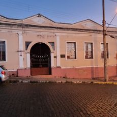
Tambaú, Municipality in São Paulo state, Brazil.
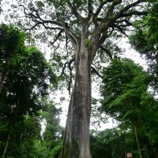
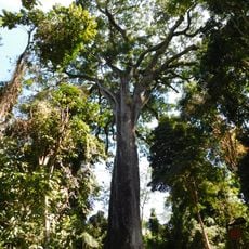
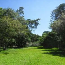
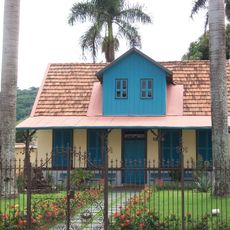
Tambaú is a municipality in São Paulo in southeastern Brazil, situated in a region of agricultural land and rolling terrain. The area is known for coffee, sugar cane, and fruit farming, along with a strong ceramic and clay-based manufacturing sector.
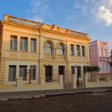
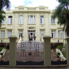
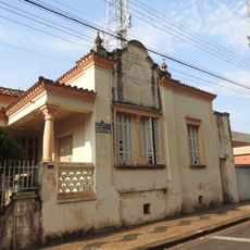
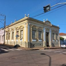
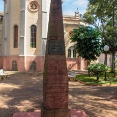
The settlement was founded in 1886 and became an official municipality in 1898. This development reflected the regional growth during the period of agricultural expansion in southeastern Brazil.
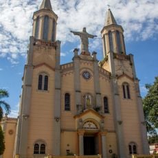
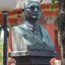
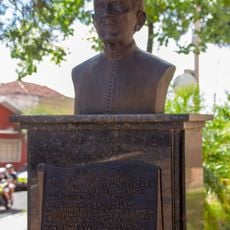
Father Donizetti, a local religious figure beatified in 2019, draws thousands of visitors each year to the town's sanctuaries. People come here to experience the spiritual places connected to his life and teachings.
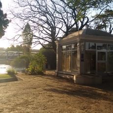
The town is well connected by highways to regional centers, making it accessible by car. Spring and summer months are generally pleasant for visiting, when roads and outdoor areas are in their best condition.
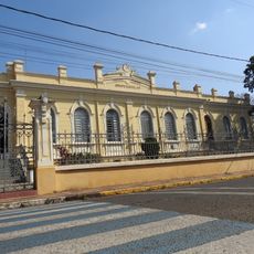
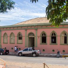
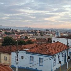
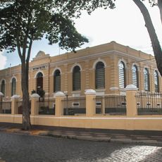
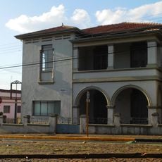
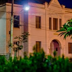
The town earned the name Red City because of its long tradition in ceramic and clay production. Visitors can still see this craft tradition today in local workshops and manufacturing facilities throughout the area.
Location: São Paulo
Elevation above the sea: 844 m
Shares border with: Santa Rita do Passa Quatro, Mococa, Santa Rosa de Viterbo, Santa Cruz das Palmeiras, Casa Branca, Cajuru
Website: http://tambau.sp.gov.br
GPS coordinates: -21.70500,-47.27389
Latest update: December 7, 2025 10:06
Vassununga State Park
33 km
Grupo Escolar Coronel Tobias
42 km
Mother Church Our Lady of Belém
42.1 km
Patriarca
33.3 km
Parque Ecológico São Sebastião
37.6 km
Porto Ferreira State Park
23.1 km
Casa de Zinco
41.5 km
Hotel Descalvado
42.1 km
Residência Grassmann
38.6 km
Prédio da Casa Popular
42.1 km
Casa Do Padre Donizetti Tavares De Lima
694 m
Casa de Cultura Rogério Cardoso
38.6 km
Museu Histórico Simonense Alaur da Matta
38.3 km
Ponte Metálica Euclides da Cunha
41.1 km
Escola Normal de Pirassununga
36.1 km
E.E. Doutor Mousart Alves Da Silva
48.4 km
Prédio da Santa Casa de Descalvado
41.9 km
Fountain at Praça Barão do Rio Branco
42.1 km
Rua Orderigo Gabrielli, 377
41.9 km
Casa Paroquial Nossa Senhora do Belém
42.1 km
Bust of Orderigo Gabrielli
42.1 km
Bandstand at Praça Barão do Rio Branco
42.1 km
Avenida Guerino Osvaldo, 296
42.1 km
Rua Barão do Descalvado, 383
42.1 km
Antiga Casa de Câmara e Cadeia de São José do Rio Pardo
41.7 km
Bust of Monsenhor José Canônico
42.1 km
Imóvel à rua Barão do Descalvado, 485
42 km
Obelisk 7th of September
42 kmVisited this place? Tap the stars to rate it and share your experience / photos with the community! Try now! You can cancel it anytime.
Discover hidden gems everywhere you go!
From secret cafés to breathtaking viewpoints, skip the crowded tourist spots and find places that match your style. Our app makes it easy with voice search, smart filtering, route optimization, and insider tips from travelers worldwide. Download now for the complete mobile experience.
A unique approach to discovering new places❞
— Le Figaro
All the places worth exploring❞
— France Info
A tailor-made excursion in just a few clicks❞
— 20 Minutes