Rio Claro, Industrial city in São Paulo, Brazil
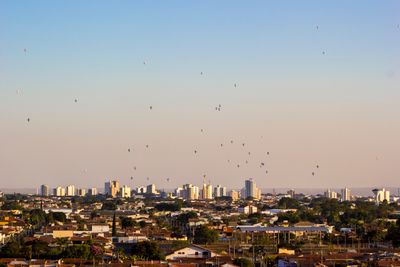
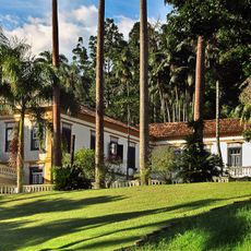
Rio Claro is an industrial city on the banks of the Corumbataí River in São Paulo state, about 180 kilometers (110 miles) northwest of the capital São Paulo. The city spreads across gentle hills at an elevation of around 617 meters (2,024 feet) and is surrounded by farmland with sugarcane and orange plantations.
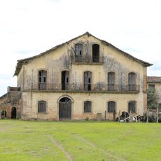
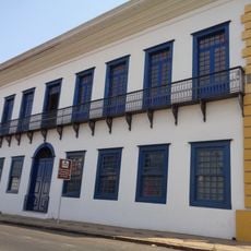
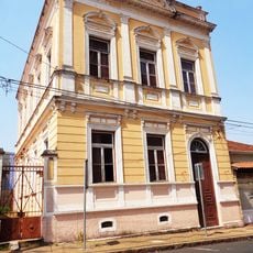
The village began in 1827 under the name São João Batista da Beira do Ribeirão Claro at a river crossing that allowed travelers to pass through. In 1845 the settlement received town status and grew into a center for farming and later industry during the 19th century.
Street names and neighborhoods recall the German, Italian, Japanese and Syrian-Lebanese families who settled here from the 19th century onward. You can still see these origins in local restaurants, shops and some of the festivals celebrated today.
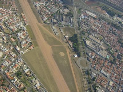
Visitors traveling here find buses and trains that connect to the surrounding region and to São Paulo, plus a small airfield for regional flights. The city has accommodation, restaurants and shops that serve travelers who want to stay more than a day.
The bridges over the Corumbataí connect older neighborhoods on one side with newer residential areas on the other. Some of these crossings date back to when the city was an important hub for transporting sugarcane.
The community of curious travelers
AroundUs brings together thousands of curated places, local tips, and hidden gems, enriched daily by 60,000 contributors worldwide.