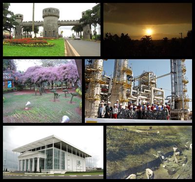
Paulínia, Industrial municipality in São Paulo, Brazil.
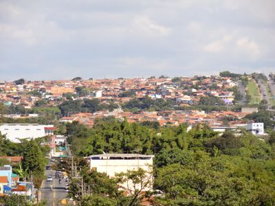
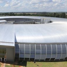
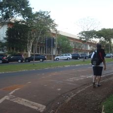
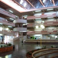
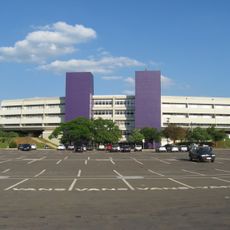
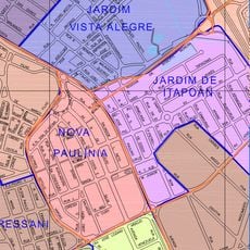
Paulínia is an industrial city in São Paulo state, located about 120 kilometers northwest of the state capital. The town spreads across gentle hills with residential neighborhoods, commercial zones, and extensive refinery and chemical plants that dominate the skyline and drive the local economy.
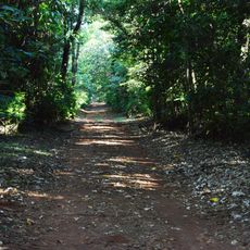
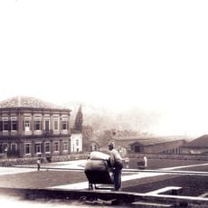
The settlement began in 1906 as the village of São Bento around a chapel and grew first as a farming hub with sugarcane and coffee plantations. The construction of the Replan refinery in the 1970s transformed the town completely, turning it within a few years into a leading center of Brazilian petrochemicals.
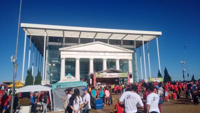
The town takes its name from Paulino de Souza e Queirós, an imperial-era politician whose family shaped the region. Residents today celebrate an active calendar of street parties and religious holidays that mark the rhythm of local life and keep community traditions alive.
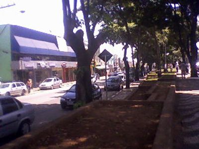
The town is easy to reach via several highways and has a good network of bus routes linking residential areas with commercial districts. Visitors interested in seeing the industrial facilities should check with operators beforehand about visitor policies and safety requirements.
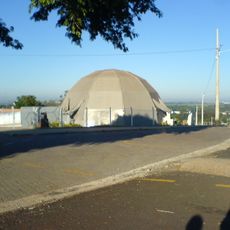
Much of the city area is occupied by the Replan refinery complex and associated chemical plants that operate around the clock. These facilities make the town a hub for research and technical training, with programs and institutions that draw specialists from across Brazil.
Location: São Paulo
Inception: July 16, 1906
Elevation above the sea: 590 m
Shares border with: Campinas, Americana, Nova Odessa, Sumaré, Holambra, Cosmópolis, Jaguariúna
Website: http://paulinia.sp.gov.br
GPS coordinates: -22.76111,-47.15417
Latest update: December 14, 2025 17:09
Sirius
11.7 km
Mata de Santa Genebra
8.3 km
Fazenda Santa Genebra
5.9 km
Rádio Muda
10.6 km
Faculdade de Engenharia Elétrica e da Computação da Universidade Estadual de Campinas
11.2 km
Institute of Mathematics
10.8 km
Moradia da Unicamp
9.5 km
Exploratory Science Museum
11.6 km
Museu Exploratório de Ciências da Unicamp
11.6 km
Biblioteca Central Cesar Lattes
10.5 km
Área de Relevante Interesse Ecológica Matão de Cosmópolis
4.9 km
Estádio Municipal Luís Perissinotto
25 m
Biblioteca Octavio Ianni
10.6 km
Complexo Viário SP 332-PLN 010/020
1.2 kmJardim Botânico Municipal de Paulínia Adelmo Piva Junior
797 m
Biblioteca Pública Municipal "Valter Borges de Salles
889 mMuseu da Criatividade Popular de Paulínia
1.3 kmBarao Geraldo observatory
8 kmCia. Sarau
8.8 kmSambódromo Florindo Ferreira (DÓIA)
3.3 kmLUME
9.5 kmTheatro Municipal Paulo Gracindo (Teatro Municipal de Paulínia)
2.8 kmTeatro de Arena
10.6 kmConjunto Aquático Almir Beraldo
2.1 kmGuarda Civil de Paulínia Prédio Alcides Leopoldino da Fonseca
636 mScenic viewpoint
11.5 kmScenic viewpoint
11.6 kmVisited this place? Tap the stars to rate it and share your experience / photos with the community! Try now! You can cancel it anytime.
Discover hidden gems everywhere you go!
From secret cafés to breathtaking viewpoints, skip the crowded tourist spots and find places that match your style. Our app makes it easy with voice search, smart filtering, route optimization, and insider tips from travelers worldwide. Download now for the complete mobile experience.
A unique approach to discovering new places❞
— Le Figaro
All the places worth exploring❞
— France Info
A tailor-made excursion in just a few clicks❞
— 20 Minutes