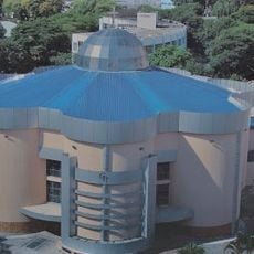
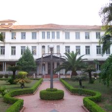
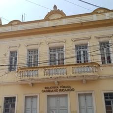
Jacareí, Industrial municipality in São Paulo state, Brazil.
Jacareí sits in the valley of the Paraíba do Sul River and covers 464 square kilometers at an elevation of 567 meters above sea level. The municipality is a major industrial center with several large breweries and manufacturing plants that shape its economic life.
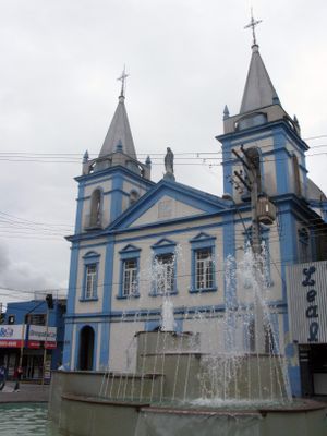
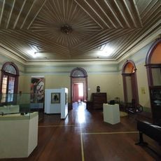
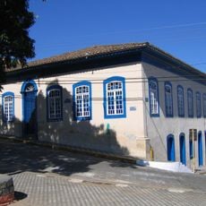
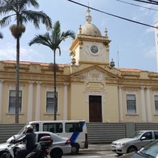
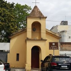
The settlement gained township status in 1653 after Antonio Afonso and his sons built a chapel honoring Our Lady of Conception. Over the centuries the place grew from a small religious settlement into a major industrial location.
The city takes its name from the Tupi language, recalling the many alligators that once lived in the river waters here. Today only street names and local symbols keep this reptile-rich past alive in everyday life.
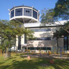
The city is well connected to São Paulo and São José dos Campos by highways and railways and has a regional airfield. Travelers can reach the different industrial areas and the historic center easily by car or public transport.
The city is the leading center for beer production in Latin America and houses several large brewing facilities. This industry shapes not only the economy but also the cityscape with its sprawling warehouses and bottling plants along the main roads.
Location: São Paulo
Elevation above the sea: 567 m
Shares border with: Guararema, Santa Branca, Paraibuna, Santa Isabel, Igaratá, Jambeiro, São José dos Campos
Website: http://jacarei.sp.gov.br
GPS coordinates: -23.30500,-45.96583
Latest update: December 13, 2025 19:04
Estádio Martins Pereira
16.2 km
Brazilian Aerospace Memorial
14.2 km
Anthropology Museum of the Paraíba Valley
712 mMunicipal Market of São José dos Campos
16.1 kmSolar Gomes Leitão
720 mChapel of Our Lady of Remedies
11.3 km
Deuses e Faraós Restaurante
13.1 km
Museu Interativo de Ciências
17.6 kmTenis Clube São José
14.5 km
Casa do Ajudante Braga
13.3 km
Museu de Esportes de São José dos Campos
16.3 km
São Dimas Cathedral
14.3 kmCinema Paratodos
15.8 km
Sanatório Vicentina Aranha
13.9 kmEdifício da Manufatura de Tapetes Santa Helena
442 m
Antigo Cine Teatro São José
15.9 km
Igreja Nossa Senhora da Escada
12.9 kmE.M.E.F. Barão Santa Branca
13.3 kmAntiga Residência de Mário Alfredo Weiss
15.3 kmCine Teatro Benedito Alves da Silva
15.9 km
Paço Municipal
15.7 kmGuará 2
19.9 km
Capela de São Miguel
15.6 kmInstituto das Pequenas Missionárias de Maria Imaculada
15.1 km
Cassiano Ricardo City Public Library
15.9 kmMuseu Municipal de São José dos Campos
15.7 km2 - Guara
20 km1 - Guara
20 kmVisited this place? Tap the stars to rate it and share your experience / photos with the community! Try now! You can cancel it anytime.
Discover hidden gems everywhere you go!
From secret cafés to breathtaking viewpoints, skip the crowded tourist spots and find places that match your style. Our app makes it easy with voice search, smart filtering, route optimization, and insider tips from travelers worldwide. Download now for the complete mobile experience.
A unique approach to discovering new places❞
— Le Figaro
All the places worth exploring❞
— France Info
A tailor-made excursion in just a few clicks❞
— 20 Minutes