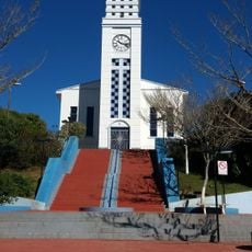
Gonçalves, Mountain municipality in Minas Gerais, Brazil.
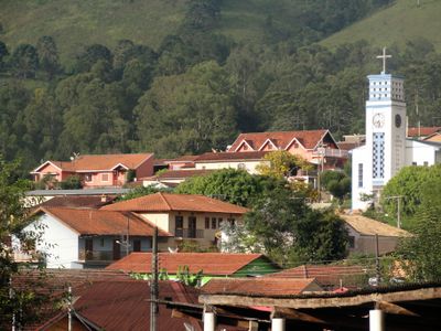
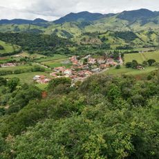
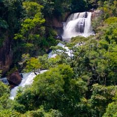
Gonçalves is a municipality in the mountains of Minas Gerais, set across mountainous terrain. Elevations range from around 950 to 2,100 meters (3,100 to 6,900 feet), shaping the region's climate and landscape.
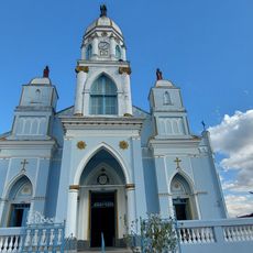
The settlement began in 1878 and became independent from Paraisópolis on March 1, 1963. This date marks its recognition as a separate municipality.
The Festival de Gastronomia e Cultura na Roça brings together local farmers, chefs, and residents to celebrate regional food and farming traditions. Daily life here revolves around agricultural rhythms and mountain farming practices that shape the community's identity.
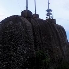
The AMG-1930 road connects the municipality with Highway MG-173 toward Vale do Paraíba and São Paulo. Visitors should expect mountainous terrain and variable weather conditions.
The area preserves remnants of mixed tropical forest with rare Araucaria trees, a forest type typically found much further south in Brazil. This ecosystem makes the location biologically distinctive.
The community of curious travelers
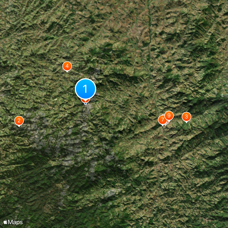
AroundUs brings together thousands of curated places, local tips, and hidden gems, enriched daily by 60,000 contributors worldwide.