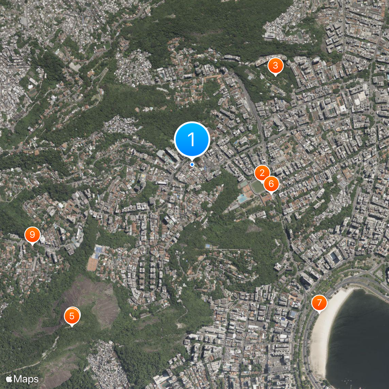
Laranjeiras, Upper-middle-class residential neighborhood in South Zone, Rio de Janeiro, Brazil
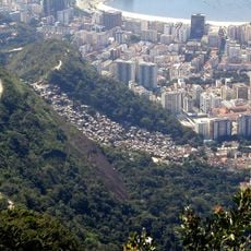
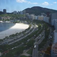
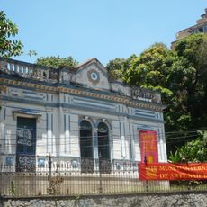
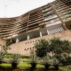
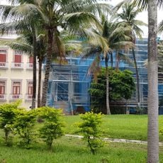
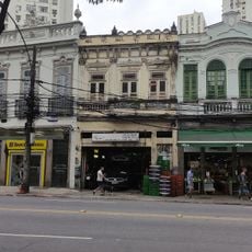
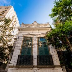
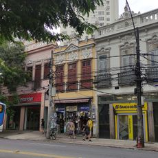
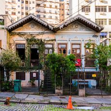
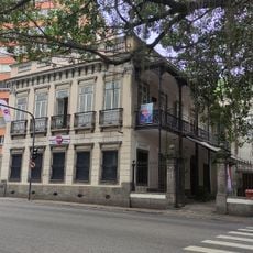
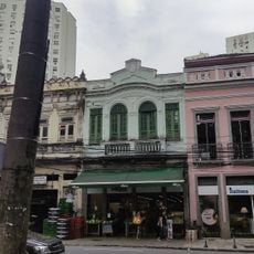
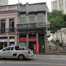
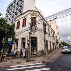
Laranjeiras is a residential neighborhood in the South Zone that spreads along a valley near Corcovado Mountain, featuring tree-lined streets, colonial mansions, and modern apartment buildings. The area blends older architecture with contemporary structures across several blocks, shaped by the landscape of the Carioca River valley.
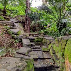
The area evolved from rural orange groves in the 17th century into an elegant residential district as country houses were built near the Carioca River. This transformation shaped both its appearance and its name, which reflects the former citrus plantations that once covered the land.
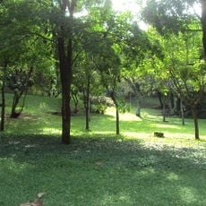
Parque Guinle draws residents with its French-style landscaping and small lake, where Saturday mornings bring a market with fresh produce and live Choro music. The park serves as a gathering place where visitors can experience how the neighborhood values its green spaces and local traditions.
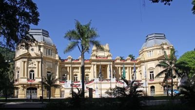
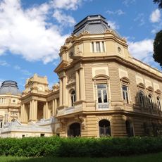
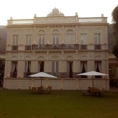
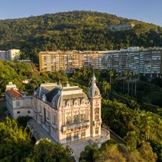
The Palácio Guanabara, seat of the state government, offers guided tours of its neo-classical buildings and gardens with advance booking required. Visitors should check ahead for tour availability and to arrange their visit accordingly.
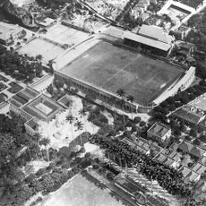
The Estádio das Laranjeiras hosted Brazil's first international football match in 1914, a moment that marked the nation's entry into global sports competition. This stadium was instrumental in developing football culture in South America and remains significant in Brazilian sporting history.
The community of curious travelers
AroundUs brings together thousands of curated places, local tips, and hidden gems, enriched daily by 60,000 contributors worldwide.