Serrinha do Alambari Environmental Protection Area, Environmental Protection Area in Resende, Brazil
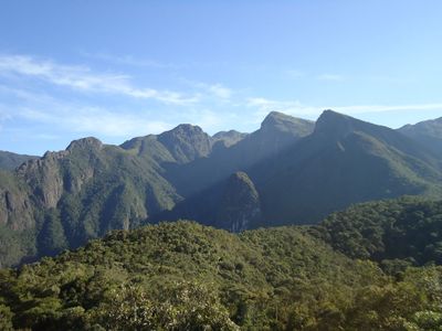
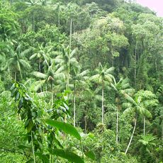
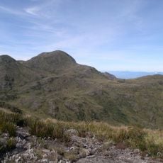
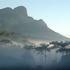
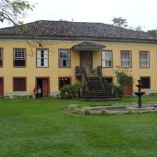
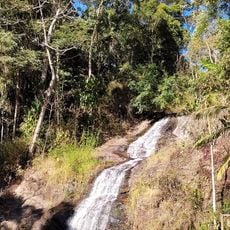
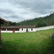
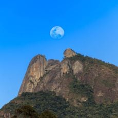
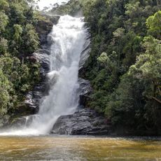
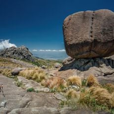
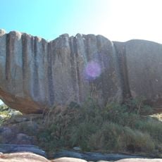
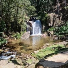
Serrinha do Alambari Environmental Protection Area lies on the eastern slopes of the Mantiqueira Mountains, with elevations ranging from 700 to 2,300 meters. The landscape features forests, rocky peaks, and natural water sources that feed into river systems below.
The area was established in 1991 through municipal law and received its development master plan in 1994. This protected status was created to safeguard the mountain environment and its water resources from uncontrolled land use.
Local communities actively participate in conservation work, with residents and visitors learning about the environment through organized programs and sustainable farming practices. The area reflects a shared commitment between people living here and those working to protect the mountain landscape.
Several hiking trails and camping areas are available throughout the zone, with designated spots for fishing and other outdoor activities. Wear sturdy footwear and bring water, as the mountain trails are steep and weather can change quickly at higher elevations.
The area protects the upper catchment basins of two rivers, Alambari and Pirapitinga, which supply water to communities far downstream. Few visitors realize that this remote mountain zone directly provides drinking water and irrigation for populated areas below.
The community of curious travelers
AroundUs brings together thousands of curated places, local tips, and hidden gems, enriched daily by 60,000 contributors worldwide.