
Anhanguera, human settlement
Location: Goiás
Inception: November 5, 1953
Elevation above the sea: 378.08 m
Shares border with: Cumari, Araguari
GPS coordinates: -18.33694,-48.21889
Latest update: March 28, 2025 15:30
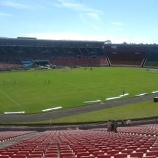
Estádio Parque do Sabiá
64.2 km
Autódromo Internacional Ayrton Senna
207.8 km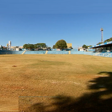
Estádio Annibal Batista de Toledo
200.9 km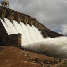
Itumbiara Dam
93.2 km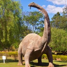
Dinosaur Museum
164.3 km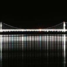
Affonso Penna bridge
104.8 km
Parque Estadual da Serra de Caldas Novas
77.8 km
Estádio JK
108.6 km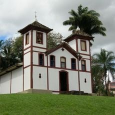
Saint Rita church, Uberaba
160.1 km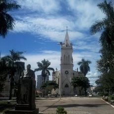
St. Anthony of Padua Cathedral, Patos de Minas
181.9 km
Parish Church of Saint Antony
188.8 km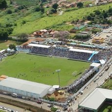
Estádio Genervino da Fonseca
33.9 km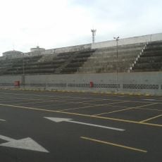
Estádio Juca Ribeiro
64.3 km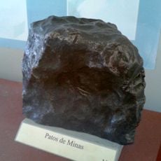
Patos de Minas
180.1 km
Antiga Estação do Cipó
196.7 km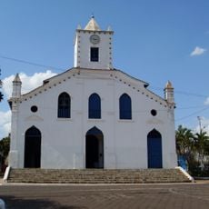
Our Lady of the Rosary church, Paracatu
189.2 km
Igreja de Nosso Senhor do Bonfim
191.7 km
Museu Ferroviário de Pires do Rio
115.6 km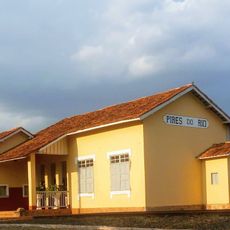
Estação Ferroviária de Pires do Rio
115.9 km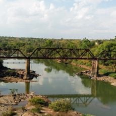
Ponte Epitácio Pessoa
108.8 km
Cinemais Patos de Minas
181.9 km
Saint Anne Church (Paracatu, Brazil)
188.6 km
Museu Municipal Dona Beja
194 km
Historic center of Paracatu
188.8 km
Casa de Cultura, Paracatu
189 km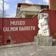
Calmon Barreto museum
194.1 km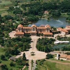
Complexo Hidrotermal e Hoteleiro do Barreiro
197.7 km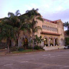
Termas de Araxá
197.7 kmReviews
Visited this place? Tap the stars to rate it and share your experience / photos with the community! Try now! You can cancel it anytime.
Discover hidden gems everywhere you go!
From secret cafés to breathtaking viewpoints, skip the crowded tourist spots and find places that match your style. Our app makes it easy with voice search, smart filtering, route optimization, and insider tips from travelers worldwide. Download now for the complete mobile experience.

A unique approach to discovering new places❞
— Le Figaro
All the places worth exploring❞
— France Info
A tailor-made excursion in just a few clicks❞
— 20 Minutes