São Lourenço, Spa resort municipality in Minas Gerais, Brazil.
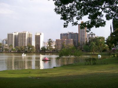
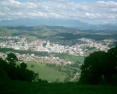
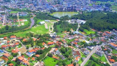
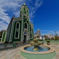
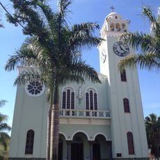
This town in southern Minas Gerais is known for its mineral springs and spa facilities that draw visitors seeking water treatments. The settlement sits among rolling hills and features public parks with paved walkways, fountains, and benches under tall trees that provide shade during warmer months.
A small settlement began to grow in the 1890s when the healing properties of local springs became known and first visitors arrived. The town gained municipal status in 1927 and over the following decades attracted increasing numbers of spa guests from other parts of Brazil.
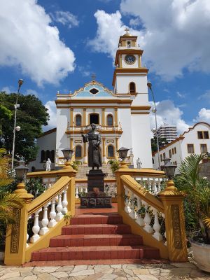
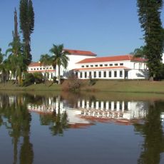
The pedestrian area in the center brings together locals and visitors at small cafes serving regional cheeses and doce de leite from surrounding farms. Architecture from the 1930s, with its pavilions and colonnades, recalls the era when spa hotels first began welcoming guests from other Brazilian states.
Access to most springs and parks is free, though some spa complexes charge entry for their indoor facilities. Paths in the center are mostly level and easy to walk, while more remote springs may require navigating uneven ground.
Some springs lie in a wooded valley outside the center and are mainly visited by locals who collect their own drinking water there. Many travelers are unaware that water composition and quality can vary depending on season and rainfall levels.
The community of curious travelers
AroundUs brings together thousands of curated places, local tips, and hidden gems, enriched daily by 60,000 contributors worldwide.