Guararapes, Municipality in São Paulo, Brazil.
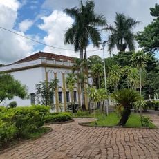
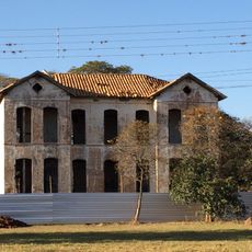
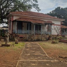
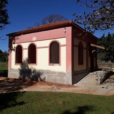
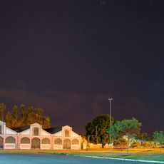
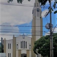
Guararapes is a municipality in São Paulo state in southeastern Brazil, situated at an elevation of about 415 meters. The area is divided into different neighborhoods and features a mix of rural and urban zones.
Guararapes was founded on January 5, 1937, as an administrative division within São Paulo state during a period of regional growth. The municipality emerged as part of a broader reorganization effort in the area.
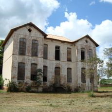
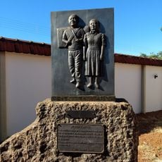
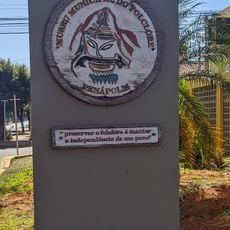
The name Guararapes comes from the Tupi language and means drums, reflecting a deep connection to indigenous Brazilian heritage. Walking through the municipality today, you can sense how this indigenous legacy shapes local identity and community pride.
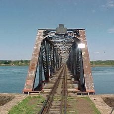
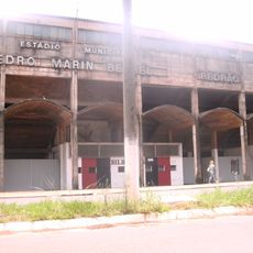
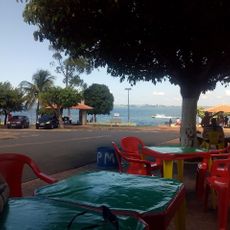
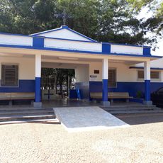
The terrain is mostly flat to gently rolling with roads connecting the different neighborhoods throughout the municipality. You will find basic services like schools, health centers, and municipal offices distributed across the area.
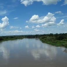
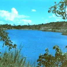
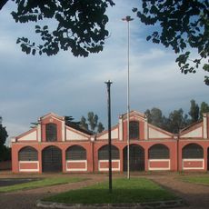
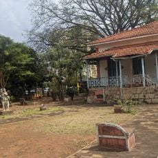
The municipality maintains a balance between urban growth and open spaces, with extensive rural areas that break up development throughout the territory. This mix gives visitors a chance to experience both city and countryside aspects of life in São Paulo state.
The community of curious travelers
AroundUs brings together thousands of curated places, local tips, and hidden gems, enriched daily by 60,000 contributors worldwide.