Aguapeí State Park, State park in northwestern São Paulo, Brazil
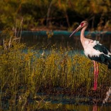
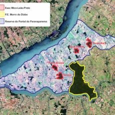
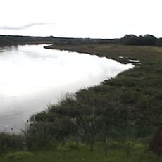
Aguapeí State Park covers 9,043.97 hectares of floodplain along the Aguapeí River, about 10 km upstream from its confluence with the Paraná River. Its vegetation includes seasonal semi-deciduous forest, riparian forest, low shrubby várzea formations and macrophyte beds in marginal lagoons. The park lies in the Atlantic Forest biome and is flooded in the rainy season.
The park was created in 1998 as environmental compensation for building the Porto Primavera Hydroelectric Plant. This establishment marked an important step in protecting the natural forests of the region.
The park's name comes from the Aguapeí River, which winds through the protected area. The surrounding floodplain region is nicknamed "Pantaninho Paulista" because its wetlands resemble the Pantanal. The park's symbol is the marsh deer, and the visitor center opened in December 2015.
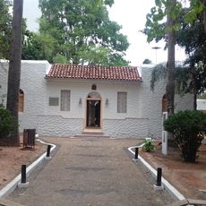
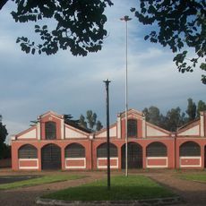
The park lies about 10 km upstream from where the Aguapeí River meets the Paraná River, and its perimeter is fenced. The administrative headquarters and visitor center opened in December 2015, and the park was scheduled to open to the public in early 2016. Check current opening conditions with the park administration before travelling.
The marsh deer is the park's symbol, but only two populations survive in São Paulo, both near the mouths of the Aguapeí and Peixe rivers. Isolation, hunting and diseases such as foot-and-mouth from nearby cattle keep the Aguapeí herd declining, and reintroduction projects have brought few encouraging results.
The community of curious travelers
AroundUs brings together thousands of curated places, local tips, and hidden gems, enriched daily by 93,733 contributors worldwide.