Serro

Log in to your account

AroundUs is a community-driven map of interesting places, built by curious explorers like you. It grows with every review, story, and photo you share.
Connect to save your favorite spots, contribute locations, and create personalized routes.
Continue with Google
Continue with Apple
Continue with X
Continue with Facebook
Continue with email
By continuing, you accept our Terms and Conditions and our Privacy Policy
Create an account
Add to collection
Map
Suggest a change
Share

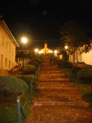
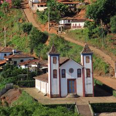
Serro, Colonial municipality in Minas Gerais, Brazil

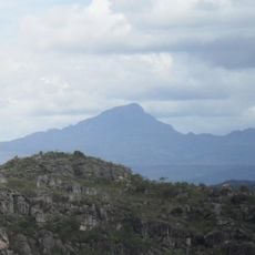
Serro is a municipality located in the highlands of Minas Gerais at an elevation of approximately 880 meters (2,887 feet) in southeastern Brazil. The town sits on mountainous terrain surrounded by forests that define the character of this highland region.

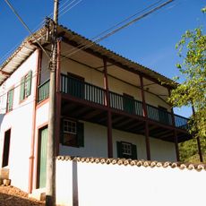
The settlement began in the 18th century during Brazil's gold rush period when Portuguese colonists established a mining administration center. These origins as a mining town continue to shape the identity and development of the place today.

The town is known for its cheese-making tradition, with families following methods passed down through generations. You can find fresh cheese sold in local shops and markets, where the craft remains an important part of daily life.

The town connects to larger centers through regional highways with regular bus services to neighboring towns and to the state capital Belo Horizonte. Visitors should expect cool mountain weather and wear proper footwear for the hilly terrain.

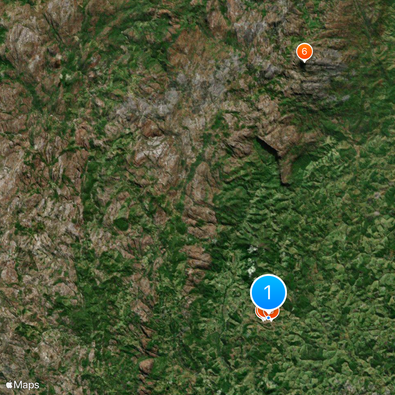
The area encompasses a large section of Pico do Itambé State Park, a protected nature reserve where rare mountain plants and forest trails exist. This protected zone allows visitors to explore the native landscape that defines the highlands of this region.

Location: Minas Gerais

Elevation above the sea: 884 m

Shares border with: Conceição do Mato Dentro, Santo Antônio do Itambé, Alvorada de Minas, Couto de Magalhães de Minas, Datas, Diamantina, Presidente Kubitschek, Rio Vermelho, Sabinópolis, Serra Azul de Minas

Website: http://serro.mg.gov.br

GPS coordinates: -18.60444,-43.37944

Latest update: December 20, 2025 00:35

Photos
Reviews

Visited this place? Tap the stars to rate it and share your experience / photos with the community! Try now! You can cancel it anytime.

« Serro - Colonial municipality in Minas Gerais, Brazil » is provided by Around Us (aroundus.com). Images and texts are derived from Wikimedia project under a Creative Commons license. You are allowed to copy, distribute, and modify copies of this page, under the conditions set by the license, as long as this note is clearly visible.

Discover hidden gems everywhere you go!

From secret cafés to breathtaking viewpoints, skip the crowded tourist spots and find places that match your style. Our app makes it easy with voice search, smart filtering, route optimization, and insider tips from travelers worldwide. Download now for the complete mobile experience.

Around Us App Screenshot

A unique approach to discovering new places

Le Figaro

All the places worth exploring

France Info

A tailor-made excursion in just a few clicks

20 Minutes