Milho Verde, Administrative district in Serro, Brazil
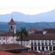
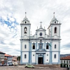
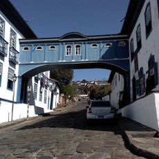
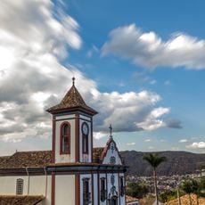
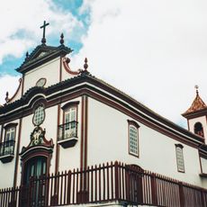
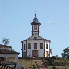
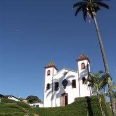
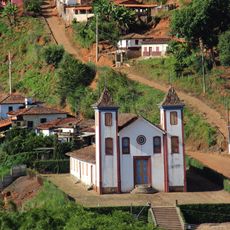
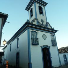
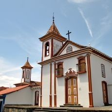
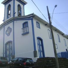
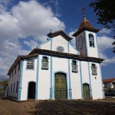
Milho Verde is an administrative district within the municipality of Serro, located in the mountains of Minas Gerais at about 1,200 meters elevation. The Capela do Rosário church forms the center of this settlement.
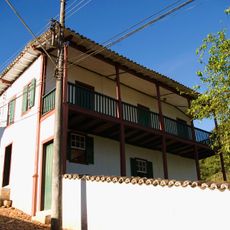
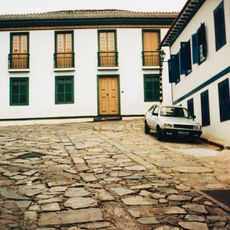
The district was established during the colonial period as part of Serro, after the Portuguese set up mining and farming activities in this region. These early foundations shaped the settlement's structure.
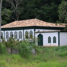
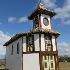
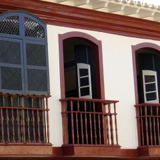
The Capela do Rosário sits at the heart of the settlement and shows building styles that have been common in this region for centuries. Visitors can see how traditional architecture shapes everyday life here.
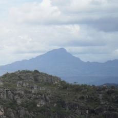
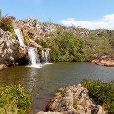
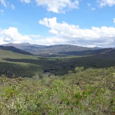
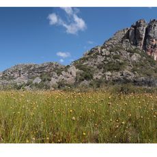
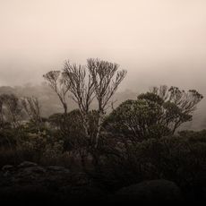
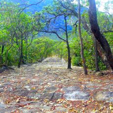
The location sits in the mountains and requires appropriate preparation for visiting at this elevation. Visitors should learn about local paths and the best season to plan their stay effectively.
The district holds special powers within Brazil's administrative system to create local laws and collect its own taxes. This makes it a distinct unit with unusual autonomy compared to most other settlements.
Location: Serro
GPS coordinates: -18.49946,-43.50431
Latest update: December 7, 2025 20:43
Historic Centre of the Town of Diamantina
31.3 km
Pico do Itambé
19.9 km
St. Anthony Cathedral, Diamantina
30 km
Biribiri State Park
41.2 km
Casa da Glória
30.5 km
Church of Saint Francis of Assisi
30.2 km
Church of Our Lady of Mount Carmel
29.9 km
House of the Ottoni
17.4 km
Saint Rita of Cascia church
17.4 km
House of Chica da Silva
29.8 km
Baron of Serro's house
17.3 km
Rio Preto State Park
40.9 km
Espinhaço Mosaic
40.3 km
Pico do Itambé State Park
19.9 km
Church of Our Lady of Mount Carmel
17.5 km
Chapel of Our Lady of the Rosary
17.9 km
Church of Bom Jesus de Matosinhos
17.4 km
Church of Our Lady of Protection
30 km
Casa Muxarabi
29.9 km
Basílica do Sagrado Coração de Jesus
29.8 km
Casa do General Carneiro
17.5 km
Igreja do Senhor do Bonfim
29.9 km
Church of Our Lady of Mercy
29.9 km
Museu do Diamante
30 km
Mercado Municipal de Diamantina
30.1 km
Casa à Praça Juscelino Kubitschek
30.1 km
Church of Our Lady of the Rosary
29.8 km
Road of the Slaves
36.8 kmVisited this place? Tap the stars to rate it and share your experience / photos with the community! Try now! You can cancel it anytime.
Discover hidden gems everywhere you go!
From secret cafés to breathtaking viewpoints, skip the crowded tourist spots and find places that match your style. Our app makes it easy with voice search, smart filtering, route optimization, and insider tips from travelers worldwide. Download now for the complete mobile experience.
A unique approach to discovering new places❞
— Le Figaro
All the places worth exploring❞
— France Info
A tailor-made excursion in just a few clicks❞
— 20 Minutes