Enable Location

We need your location to show you interesting places around you

Discover nearby places

Find interesting locations and hidden gems around you

Precise directions

Get accurate directions and distances to places

Your location is never shared with other users. It's only used when you tap the location button.

Road of the Slaves

Log in to your account

Start exploring — it's free

Trusted by 63,144 travelers worldwide

Continue with Google
Continue with Apple
or

We will send you a code to connect

By continuing, you accept our Terms and Conditions and our Privacy Policy

Check your inbox

We've sent a pincode in your inbox. Please enter the code below.

Road of the Slaves
Discussion Reviews 1 Photos 1 Collections
30+ Popularity

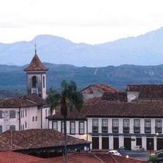
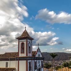
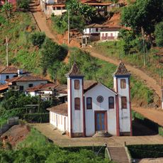
Road of the Slaves, Colonial transportation route in Diamantina, Brazil.

The Road of the Slaves is a colonial transport route in Diamantina featuring stone-paved sections that wind through mountainous terrain. The preserved sections still connect historical districts and demonstrate how the path was engineered centuries ago.

The route was created to transport diamonds and gold from mining regions to coastal points for export. This trade activity became fundamental to the colonial economy and shaped the region for generations.

The road's name and visible features reflect the colonial era and how it served as a vital trade passage for the region. Walking it today, you can observe how the landscape itself bears marks of this historical economic activity.

The terrain is hilly and requires sturdy footwear and reasonable fitness. The best sections for walking or cycling are most accessible during drier months when the stone surfaces are less slippery.

The path retains original stone patterns laid by hand that reveal craftsmanship from centuries ago. These details often go unnoticed by visitors but tell much about the labor methods and materials used during that era.

The community of curious travelers

AroundUs brings together thousands of curated places, local tips, and hidden gems, enriched daily by 60,000 contributors worldwide.

Start exploring
Location
Inception
18 century
Part of
Caminho Velho
GPS coordinates
-18.17380,-43.56373
Latest update
December 6, 2025 19:08
Natural sites and cultural places in Southeast Brazil

Southeast Brazil spans the states of São Paulo, Rio de Janeiro, Minas Gerais and Espírito Santo, offering coastal landscapes, mountain villages, caves and waterfalls. The region preserves colonial-era trails, grottos with underground formations and islands with light visitor traffic. Sites show how...

Reviews
Share your experience

No review yet

Discussions
Start a discussion...

No discussion yet

« Road of the Slaves - Colonial transportation route in Diamantina, Brazil » is provided by Around Us (aroundus.com). Images and texts are derived from Wikimedia project under a Creative Commons license. You are allowed to copy, distribute, and modify copies of this page, under the conditions set by the license, as long as this note is clearly visible.

Discover hidden gems everywhere you go!

From secret cafés to breathtaking viewpoints, skip the crowded tourist spots and find places that match your style. Our app makes it easy with voice search, smart filtering, route optimization, and insider tips from travelers worldwide. Download now for the complete mobile experience.

Around Us App Screenshot

A unique approach to discovering new places

Le Figaro

All the places worth exploring

France Info

A tailor-made excursion in just a few clicks

20 Minutes

Around Us
Travel Guide & Maps
Download

Send to your phone

QR Code
1

Open the camera app on your mobile.

2

Point at the QR code with your camera. A notification will appear.

3

Tap the notification to open the link.