Enable Location

We need your location to show you interesting places around you

Discover nearby places

Find interesting locations and hidden gems around you

Precise directions

Get accurate directions and distances to places

Your location is never shared with other users. It's only used when you tap the location button.

Diamantina

Log in to your account

Start exploring — it's free

Trusted by 61,994 travelers worldwide

Continue with Google
Continue with Apple
or

We will send you a code to connect

By continuing, you accept our Terms and Conditions and our Privacy Policy

Check your inbox

We've sent a pincode in your inbox. Please enter the code below.

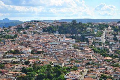
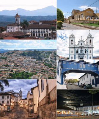
Diamantina, Administrative region in Minas Gerais, Brazil

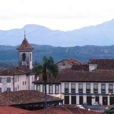
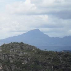
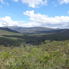
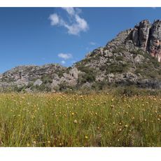
This administrative region in Minas Gerais, Brazil, covers hilly inland terrain and includes a historic town with colonial architecture. The area sits on a high plateau surrounded by wooded hills and valleys that were once the site of gemstone extraction.

Portuguese settlers founded the place in 1713 as a camp for diamond prospectors and later gave it the current name after large gemstone finds became known. During the 18th century, the site grew into one of the main extraction areas for diamonds in the Portuguese colony.

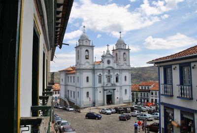
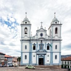
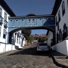
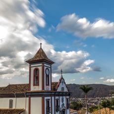
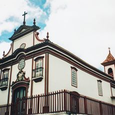
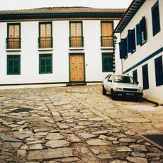
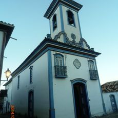
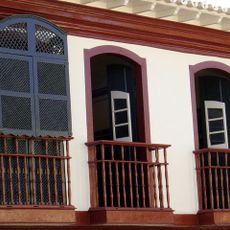
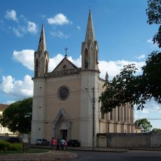
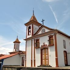
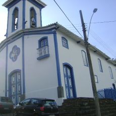
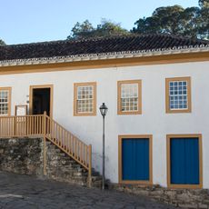
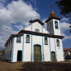
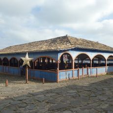
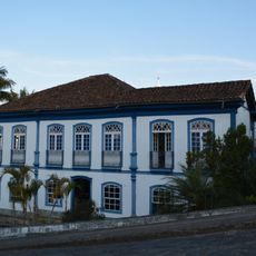
This town takes its name from the diamonds mined here for centuries, and that origin still shapes the streetscape with cobblestone lanes and colonial buildings. Visitors see churches with carved altars and houses with painted facades that recall the days of the gemstone trade.

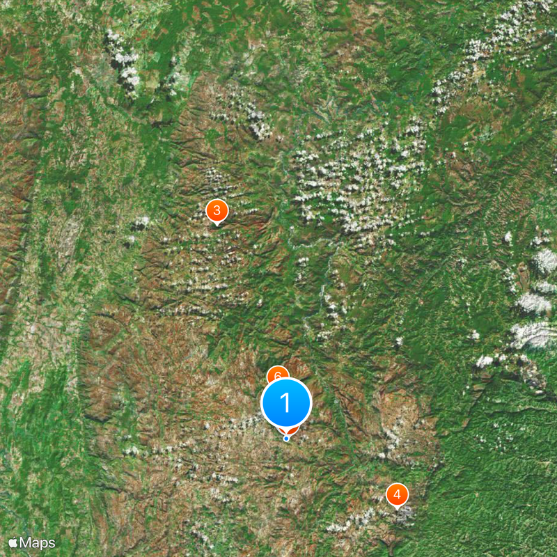
Visitors reach the area by a federal highway that runs through mountain country and requires several hours of driving from the state capital. A small airport nearby offers connections for travelers who want to shorten the overland journey.

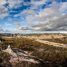
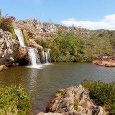
A state park within the municipality protects abandoned mining settlements and rock formations left from earlier extraction work. Hikers discover ruins of old houses beside streams that were once used for gemstone prospecting.

The community of curious travelers

AroundUs brings together thousands of curated places, local tips, and hidden gems, enriched daily by 60,000 contributors worldwide.

Start exploring
Location
Elevation above the sea
1,280 m
Shares border with
Bocaiúva, Gouveia, Senador Modestino Gonçalves, Olhos-d'Água, Couto de Magalhães de Minas, Augusto de Lima, Buenópolis, Carbonita, Datas, Monjolos, São Gonçalo do Rio Preto, Serro
GPS coordinates
-18.24889,-43.60000
Latest update
December 13, 2025 15:50
« Diamantina - Administrative region in Minas Gerais, Brazil » is provided by Around Us (aroundus.com). Images and texts are derived from Wikimedia project under a Creative Commons license. You are allowed to copy, distribute, and modify copies of this page, under the conditions set by the license, as long as this note is clearly visible.

Discover hidden gems everywhere you go!

From secret cafés to breathtaking viewpoints, skip the crowded tourist spots and find places that match your style. Our app makes it easy with voice search, smart filtering, route optimization, and insider tips from travelers worldwide. Download now for the complete mobile experience.

Around Us App Screenshot

A unique approach to discovering new places

Le Figaro

All the places worth exploring

France Info

A tailor-made excursion in just a few clicks

20 Minutes

Around Us
Travel Guide & Maps
Download

Send to your phone

QR Code
1

Open the camera app on your mobile.

2

Point at the QR code with your camera. A notification will appear.

3

Tap the notification to open the link.