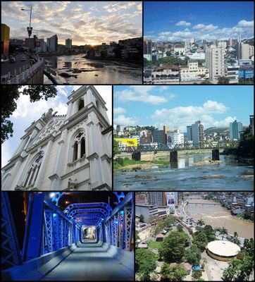
Cachoeiro de Itapemirim, Municipal administrative center in Espírito Santo, Brazil.
Cachoeiro de Itapemirim is a municipality in the southern part of Espírito Santo, sitting along the Itapemirim River and serving as a regional commercial hub. The downtown area combines residential neighborhoods with commercial streets, while the surrounding areas include industrial zones and agricultural lands.
The municipality developed during the 19th century as a trading post on the river and became an important administrative seat after the introduction of postal and telegraph services in 1889. The marble industry shaped much of the local economic growth throughout the 20th century.
The name comes from a waterfall on the Itapemirim River and means «big waterfall» in the Tupi language. The city is known as the birthplace of poet Augusto dos Anjos and singer Roberto Carlos, whose legacy remains present in local life.
The city is accessible via federal highway BR-482, which connects it to the coast and other inland towns. Public services and facilities concentrate mainly in the center, while outlying districts are reachable by local buses.
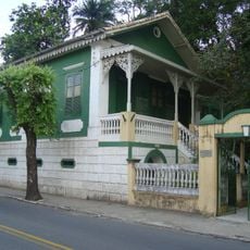
The region holds significant marble and granite deposits, and several quarries offer guided tours where visitors can learn about the extraction and processing methods. The city also houses Casa de Cultura Roberto Carlos, a museum dedicated to the famous singer that displays personal items from his childhood.
The community of curious travelers
AroundUs brings together thousands of curated places, local tips, and hidden gems, enriched daily by 60,000 contributors worldwide.