Espírito Santo, State region in southeastern Brazil
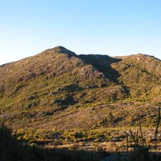
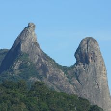
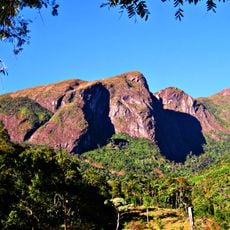
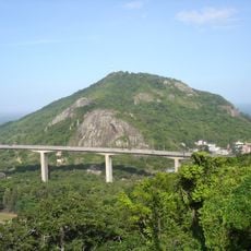
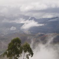
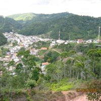
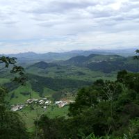
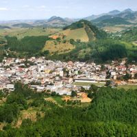
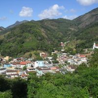
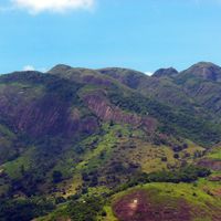
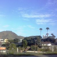
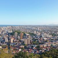
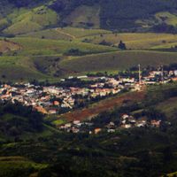
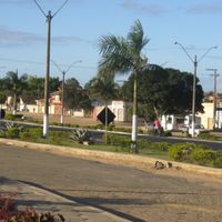
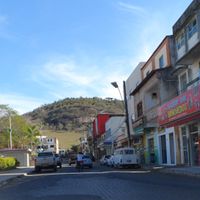
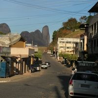
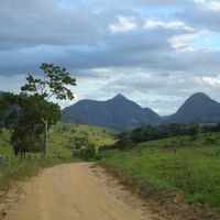
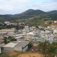
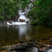
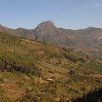
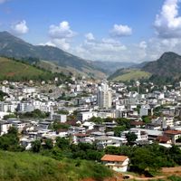
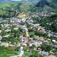
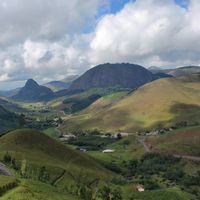
Espírito Santo is a state in southeastern Brazil, lying between the Atlantic coast and mountainous inland terrain. Rivers run through green valleys and flat coastal strips.
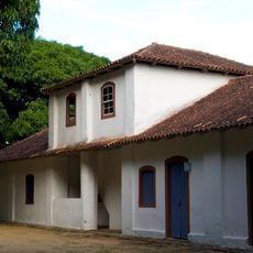
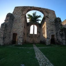
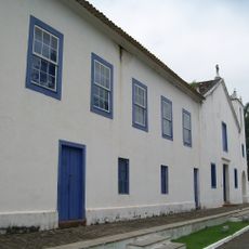
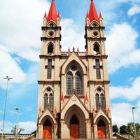
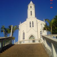
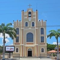
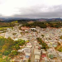
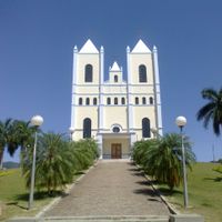
Portuguese explorer Vasco Fernandes Coutinho founded the first settlement on May 23, 1535, starting colonial development in the region. European immigrants arrived in the 19th century, reshaping agriculture and local culture.
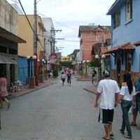
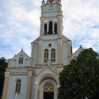
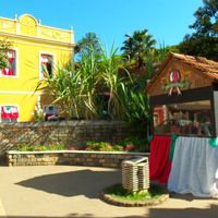
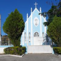
Descendants of Portuguese, Indigenous peoples, Africans, Germans, and Italians live side by side, keeping alive different customs in music, cooking, and festivals. In smaller towns you still hear dialects and regional songs passed down through generations.
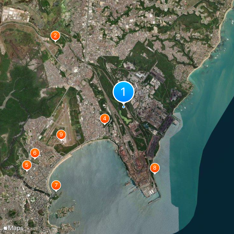
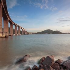
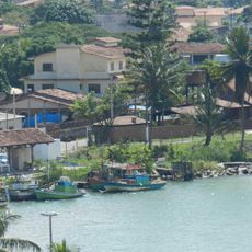
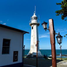
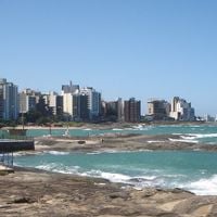
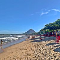
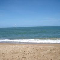
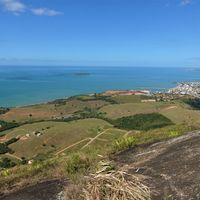
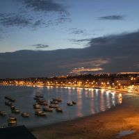
Several ports along the coast connect the state with international shipping routes and other Brazilian regions. Distances are large, so planning trips in advance and checking the location of individual places helps.
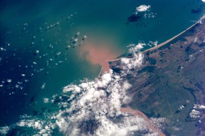
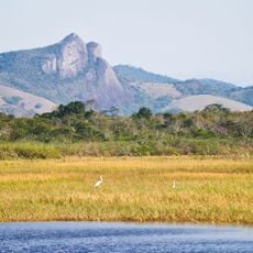
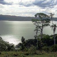
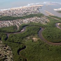
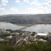
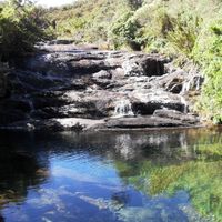
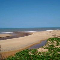
The Doce River crosses the north, carrying iron ore from inland mountains to the coast for decades. Its mouth forms a wide delta with lagoons and mangroves, known for birdwatching.
Location: Brazil
Inception: 1889
Capital city: Vitoria
Elevation above the sea: 756 m
Reference: ES
Part of: Southeast Region
Shares border with: Rio de Janeiro, Minas Gerais, Bahia
Website: http://es.gov.br
GPS coordinates: -20.25000,-40.25000
Latest update: December 14, 2025 21:42
Pico da Bandeira
162.7 km
Penha Convent
9.6 km
Third Bridge
8.6 km
Estádio Kléber Andrade
16.9 km
Buddha of Ibiraçu
42.2 km
Pedra Azul State Park
82.7 km
Frade e a Freira Natural Monument
103.7 km
Mestre Álvaro
11.1 km
Palácio Anchieta
12.3 km
Our Lady of Victory Cathedral, Vitória
12 km
Caparaó National Park
161.8 km
Morro do Moreno
8.9 km
Nova Almeida, Espírito Santo
22.9 km
Pico do Cristal
164.4 km
Abrolhos Marine National Park
291.7 km
Mosteiro Zen Morro da Vargem
42.2 km
Monjardim Manor House
9.7 km
Estádio Engenheiro Alencar Araripe
14.5 km
Casa de Cultura Roberto Carlos
112.3 km
Santa Luzia Lighthouse
8.5 kmMeaípe
62.2 km
Museu de Biologia Professor Mello Leitão
50.6 km
Igreja Velha
175.7 km
Florentino Avidos Bridge
12.9 km
Parque Estadual Paulo César Vinha
40.7 km
Santuário Nacional de São José de Anchieta
74.4 km
Stade Salvador Venâncio da Costa
9.6 km
Cais das Artes
8.7 kmVisited this place? Tap the stars to rate it and share your experience / photos with the community! Try now! You can cancel it anytime.
Afonso Cláudio
Brejetuba
Conceição do Castelo
Domingos Martins
Laranja da Terra
Marechal Floriano
Venda Nova do Imigrante
Alfredo Chaves
Anchieta
Guarapari
Iconha
Piúma
Rio Novo do Sul
Itaguaçu
Itarana
Santa Leopoldina
Santa Maria de Jetibá
Santa Teresa
São Roque do Canaã, Espírito Santo
Cariacica
Serra
Viana
Vila Velha
Vitoria
Aracruz
Fundão
Ibiraçu
João Neiva
Linhares
Rio Bananal
Sooretama
Montanha
Mucurici
Pinheiros
Ponto Belo
Conceição da Barra
Jaguaré
Pedro Canário
São Mateus
Água Doce do Norte
Barra de São Francisco
Ecoporanga
Mantenópolis
Alto Rio Novo, Espírito Santo
Baixo Guandu
Colatina
Governador Lindenberg
Marilândia
Pancas
São Domingos do Norte, Espírito Santo
Águia Branca
Boa Esperança
Nova Venécia
São Gabriel da Palha, Espírito Santo
Vila Pavão
Vila Valério, Espírito Santo
Alegre
Divino de São Lourenço
Dores do Rio Preto
Guaçuí
Ibatiba
Ibitirama
Irupi
Iúna
Muniz Freire
Apiacá, Espírito Santo
Atilio Vivaqua
Bom Jesus do Norte
Cachoeiro de Itapemirim
Castelo
Jerônimo Monteiro
Mimoso do Sul
Muqui
São José do Calçado
Vargem Alta
Itapemirim
Marataízes
Presidente Kennedy
Discover hidden gems everywhere you go!
From secret cafés to breathtaking viewpoints, skip the crowded tourist spots and find places that match your style. Our app makes it easy with voice search, smart filtering, route optimization, and insider tips from travelers worldwide. Download now for the complete mobile experience.
A unique approach to discovering new places❞
— Le Figaro
All the places worth exploring❞
— France Info
A tailor-made excursion in just a few clicks❞
— 20 Minutes