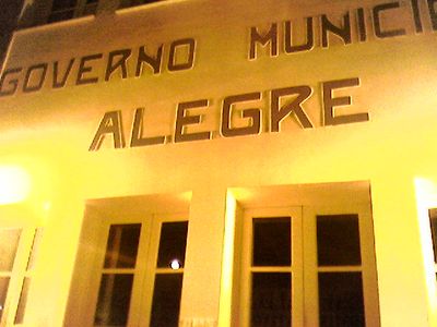
Alegre, municipality in Espírito Santo, Brazil
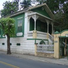
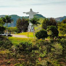
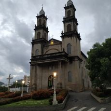
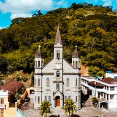
Alegre is a municipality in southern Espírito Santo, Brazil, characterized by tree-lined streets and a gentle landscape of farms and forests. The town spreads across rolling hills with open green spaces, modest buildings, and a slow-paced rhythm where residents work in agriculture, small trade, and local businesses.
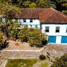
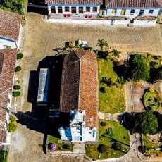
The town was founded in the late 1800s when settlers and immigrants from the Middle East, Syria, and Lebanon arrived to build a new community. It gained the status of a parish in 1858 and became an official municipality in 1884, marking its growth from a small settlement into an organized town.
The town's name reflects the optimism of early settlers who built their lives here. Community gatherings in the central square and traditional festivals bring neighbors together to share music, food, and local customs that have shaped daily life for generations.
Getting around is easiest by car, as the main roads connect different parts of town and nearby areas. Accommodations include small guesthouses and simple inns rather than large hotels, so bringing essentials is advisable since services and shops are more limited than in larger cities.
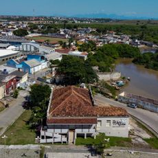
The old railway station, built over a century ago, now serves as a cultural space and event venue rather than a transport hub. It stands as a reminder of when trains carried coffee and goods through the region, playing a crucial role in the town's economic growth.
The community of curious travelers
AroundUs brings together thousands of curated places, local tips, and hidden gems, enriched daily by 60,000 contributors worldwide.