Enable Location

We need your location to show you interesting places around you

Discover nearby places

Find interesting locations and hidden gems around you

Precise directions

Get accurate directions and distances to places

Your location is never shared with other users. It's only used when you tap the location button.

Serra

Log in to your account

Start exploring — it's free

Trusted by 62,033 travelers worldwide

Continue with Google
Continue with Apple
or

We will send you a code to connect

By continuing, you accept our Terms and Conditions and our Privacy Policy

Check your inbox

We've sent a pincode in your inbox. Please enter the code below.

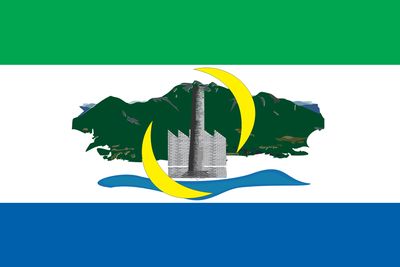
Serra, Metropolitan municipality in Espírito Santo, Brazil

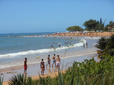
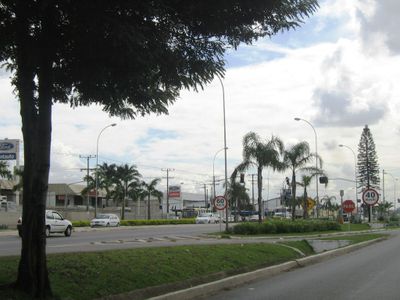
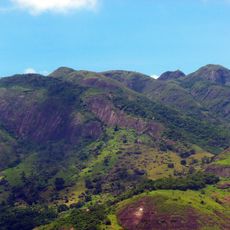
Serra is a municipality north of the state capital in Espírito Santo, sprawling across several districts and settlements. Urban areas alternate with open green space, and roads connect coastal settlements with rural stretches.

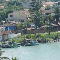
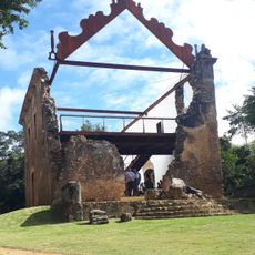
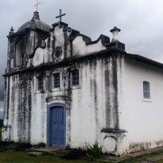
Portuguese settlers established early outposts along the coast in the late 1500s, laying the groundwork for what became this municipality. It gained full administrative status in the early 1900s.

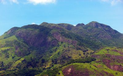
The name refers to the mountain ranges that shape the region and feature regularly in how local people talk about their surroundings. Local restaurants serve traditional Atlantic coast dishes built around cassava root and fresh seafood.

Visitors can arrive by bus during daytime hours, with multiple routes serving central areas throughout the day. Roads link neighboring cities and reach the coast directly, offering several different routes.

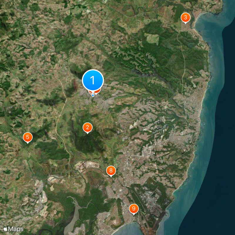
Mestre Álvaro mountain rises over 300 feet (91 meters) and remains visible from several neighborhoods, serving as a natural landmark for orientation. Local residents use its distinctive peak as a navigation reference throughout the day.

The community of curious travelers

AroundUs brings together thousands of curated places, local tips, and hidden gems, enriched daily by 60,000 contributors worldwide.

Start exploring
Location
Inception
November 6, 1556
Elevation above the sea
301 m
Shares border with
Fundão, Vitoria, Cariacica, Santa Leopoldina
GPS coordinates
-20.12889,-40.30778
Latest update
December 18, 2025 15:40
« Serra - Metropolitan municipality in Espírito Santo, Brazil » is provided by Around Us (aroundus.com). Images and texts are derived from Wikimedia project under a Creative Commons license. You are allowed to copy, distribute, and modify copies of this page, under the conditions set by the license, as long as this note is clearly visible.

Discover hidden gems everywhere you go!

From secret cafés to breathtaking viewpoints, skip the crowded tourist spots and find places that match your style. Our app makes it easy with voice search, smart filtering, route optimization, and insider tips from travelers worldwide. Download now for the complete mobile experience.

Around Us App Screenshot

A unique approach to discovering new places

Le Figaro

All the places worth exploring

France Info

A tailor-made excursion in just a few clicks

20 Minutes

Around Us
Travel Guide & Maps
Download

Send to your phone

QR Code
1

Open the camera app on your mobile.

2

Point at the QR code with your camera. A notification will appear.

3

Tap the notification to open the link.